
1908 Map of Seneca
USGS Topo · Published 1908About this map
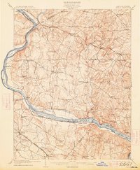
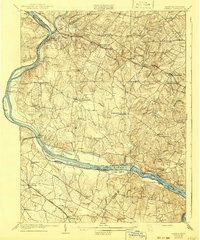
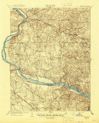
The Potomac River corridor dominates this 1907 survey, illustrating the complex transportation network shared between Maryland and Virginia. The Chesapeake and Ohio Canal parallels the riverbank, passing through key crossings like Whites Ferry and Edwards Ferry, while islands such as Harrison Island and Van Deventer Island divide the waterway. Inland, the agricultural and industrial landscape of Montgomery County is defined by the Baltimore and Ohio RR and its Metropolitan Branch, which connects established settlements like Poolesville, Germantown, and Barnesville Station. This period shows a transition from river-based transport to rail, with the Southern Ry (Bluemont Branch) carving through the Virginia side near Ashburn. Topographic details reveal the drainage patterns of Great Seneca Creek and Dry Seneca Creek, which carve through the uplands before reaching the Potomac at Seneca.
Find a feature on this map
79 named features on this map. Tap any name to fly to it.
Don’t see what you’re looking for? This feature index may not catch every label — zoom into the map to look around manually.
Map Details
Editions of this 1908 Seneca Map
7 editions found
Other maps of this area

1884 · Harpers Ferry
USGS Topo · 1:125,000

1890 · Mt. Vernon
USGS Topo · 1:125,000

1891 · Harpers Ferry
USGS Topo · 1:125,000

1891 · Mt. Vernon
USGS Topo · 1:125,000

1893 · Frederick
USGS Topo · 1:125,000

1893 · Harpers Ferry
USGS Topo · 1:125,000

1894 · Warrenton
USGS Topo · 1:125,000

1894 · Frederick
USGS Topo · 1:125,000

1894 · Mt. Vernon
USGS Topo · 1:125,000

1897 · Mt. Vernon
USGS Topo · 1:125,000