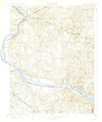
1908 Map of Seneca
USGS Topo · Published 1932About this map
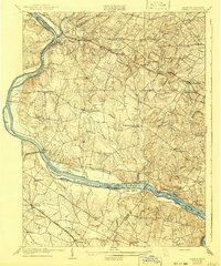
The Potomac River corridor at the start of the twentieth century was a vital artery of commerce and transit, anchored by the C and O Canal and a network of historic river crossings. This survey captures a rural landscape transitioning toward a rail-and-road economy, with the Baltimore and Ohio RR serving northern Montgomery County through stops like Boyds and Germantown. The river itself is dotted with significant landforms such as Mason Island and Selden Island, while established ferries including Whites Ferry and Edwards Ferry provided critical links to the Virginia shore.
Find a feature on this map
77 named features on this map. Tap any name to fly to it.
Don’t see what you’re looking for? This feature index may not catch every label — zoom into the map to look around manually.
Map Details
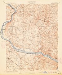
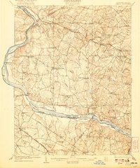
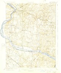
Editions of this 1908 Seneca Map
7 editions found

Other maps of this area

1884 · Harpers Ferry
USGS Topo · 1:125,000

1890 · Mt. Vernon
USGS Topo · 1:125,000

1891 · Harpers Ferry
USGS Topo · 1:125,000

1891 · Mt. Vernon
USGS Topo · 1:125,000

1893 · Frederick
USGS Topo · 1:125,000

1893 · Harpers Ferry
USGS Topo · 1:125,000

1894 · Warrenton
USGS Topo · 1:125,000

1894 · Frederick
USGS Topo · 1:125,000

1894 · Mt. Vernon
USGS Topo · 1:125,000

1897 · Mt. Vernon
USGS Topo · 1:125,000