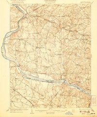
1908 Map of Seneca
USGS Topo · Published 1921About this map
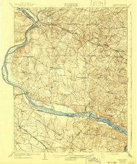
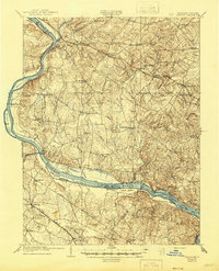
The Potomac River corridor serves as the primary axis of this 1908 survey, where the Chesapeake and Ohio Canal hugs the Maryland shoreline across from Loudoun County, Virginia. The landscape is defined by its early 20th-century transportation network, including the Metropolitan Branch of the Baltimore and Ohio and the Southern Railway Bluemont Branch. Agricultural settlements like Poolesville, Darnestown, and Boyds appear as established rural hubs, while the distinction between Germantown and Old Germantown reflects the shifting gravity of local commerce toward the railroad. Along the river, named islands such as Selden Island and Lowes Island sit near strategic crossings like Nolands Ferry. The map also documents specific land-use points like Blockhouse Pt and localized branches such as Great Seneca Creek and Sugarland Run, which dictated the early placement of mills and farmsteads in the Piedmont.
Find a feature on this map
85 named features on this map. Tap any name to fly to it.
Don’t see what you’re looking for? This feature index may not catch every label — zoom into the map to look around manually.
Map Details
Editions of this 1908 Seneca Map
7 editions found

Other maps of this area

1884 · Harpers Ferry
USGS Topo · 1:125,000

1890 · Mt. Vernon
USGS Topo · 1:125,000

1891 · Harpers Ferry
USGS Topo · 1:125,000

1891 · Mt. Vernon
USGS Topo · 1:125,000

1893 · Frederick
USGS Topo · 1:125,000

1893 · Harpers Ferry
USGS Topo · 1:125,000

1894 · Warrenton
USGS Topo · 1:125,000

1894 · Frederick
USGS Topo · 1:125,000

1894 · Mt. Vernon
USGS Topo · 1:125,000

1897 · Mt. Vernon
USGS Topo · 1:125,000