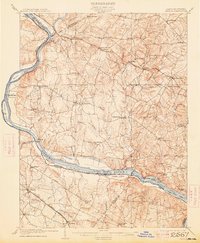
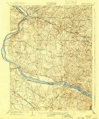
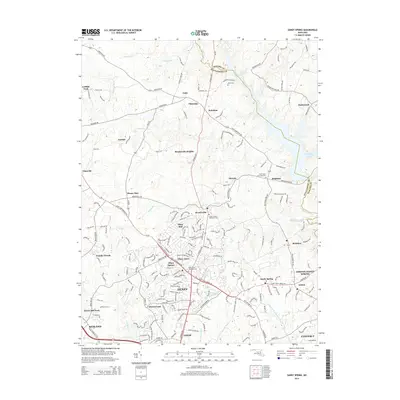
1908 Map of Seneca
USGS Topo · Published 1913About this map
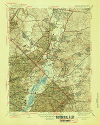
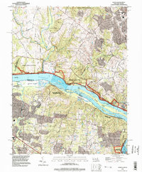
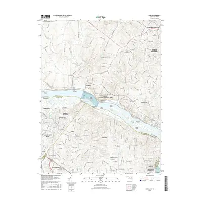
The Potomac River corridor serves as the primary artery for trade and transit in this 1908 study of the Maryland-Virginia borderlands. Running parallel to the river's northern bank, the Chesapeake and Ohio Canal is shown with its winding towpath and numerous river crossings, including Whites Ferry and Nolands Ferry. The landscape is dotted with established agricultural settlements such as Poolesville, Darnestown, and Dawsonville, which were then connected by a network of rural roads and the burgeoning rail infrastructure.
Find a feature on this map
85 named features on this map. Tap any name to fly to it.
Don’t see what you’re looking for? This feature index may not catch every label — zoom into the map to look around manually.
Map Details
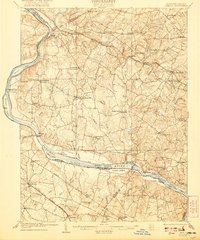
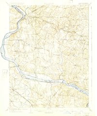
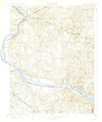
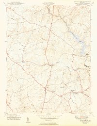
Editions of this 1908 Seneca Map
7 editions found

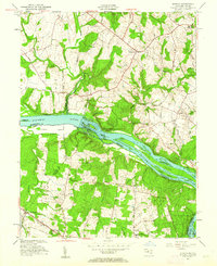
Historical Maps of Germantown Through Time
24 maps found
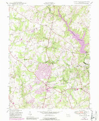
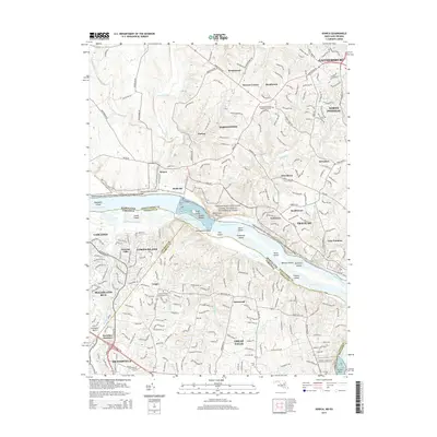
1908 Seneca
Montgomery County, MD
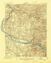
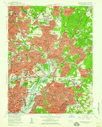
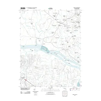
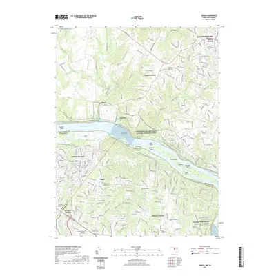
1944 Seneca
Montgomery County, MD
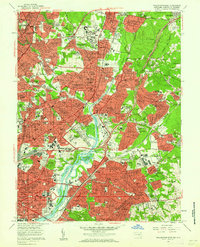
1944 Seneca
Montgomery County, MD
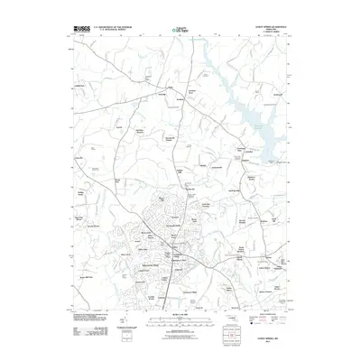
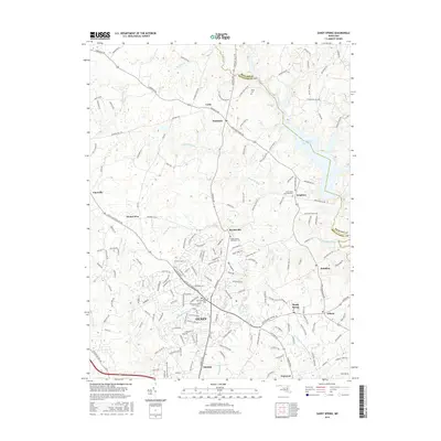
1945 Sandy Spring
Montgomery County, MD
1945 Washington East
Montgomery County, MD
1950 Sandy Spring
Montgomery County, MD

1951 Washington East
Montgomery County, MD
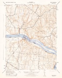
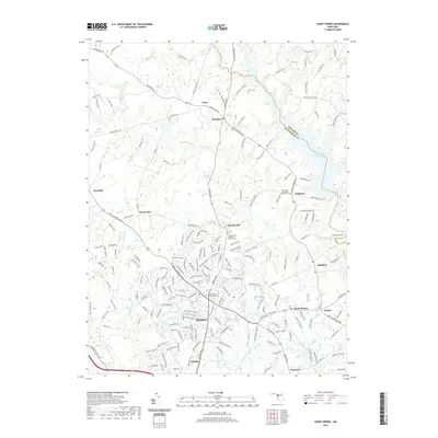
1952 Seneca
Montgomery County, MD
1956 Washington East
Montgomery County, MD
1957 Washington East
Montgomery County, MD

1968 Seneca
Montgomery County, MD

1981 Sandy Spring
Montgomery County, MD
1988 Sandy Spring
Montgomery County, MD
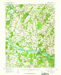
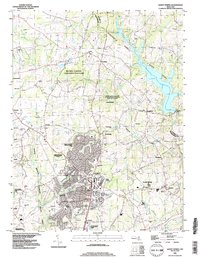
1994 Seneca
Montgomery County, MD
2011 Sandy Spring
Montgomery County, MD
2011 Seneca
Montgomery County, MD
2014 Sandy Spring
Montgomery County, MD
2014 Seneca
Montgomery County, MD
2016 Sandy Spring
Montgomery County, MD
2016 Seneca
Montgomery County, MD
2019 Sandy Spring
Montgomery County, MD
2019 Seneca
Montgomery County, MD
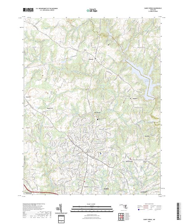
2023 Sandy Spring
Montgomery County, MD
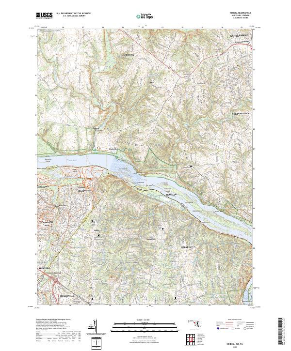
2023 Seneca
Montgomery County, MD