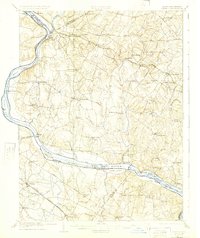
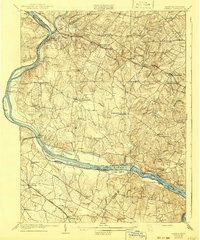
1908 Map of Seneca
USGS Topo · Published 1925About this map
The Potomac River corridor serves as the central artery of this 1907 survey, where the C and O Canal and the Baltimore and Ohio RR parallel the water's edge. This map documents a critical era of regional transport, featuring active river crossings at Nolands Ferry, Whites Ferry, and Edwards Ferry. The landscape is dotted with established agricultural and rail hubs like Poolesville, Germantown, and Boyds, while the Metropolitan Branch cuts through the northern hills.
Find a feature on this map
74 named features on this map. Tap any name to fly to it.
Don’t see what you’re looking for? This feature index may not catch every label — zoom into the map to look around manually.
Map Details
Editions of this 1908 Seneca Map
7 editions found

Other maps of this area

1884 · Harpers Ferry
USGS Topo · 1:125,000

1890 · Mt. Vernon
USGS Topo · 1:125,000

1891 · Harpers Ferry
USGS Topo · 1:125,000

1891 · Mt. Vernon
USGS Topo · 1:125,000

1893 · Frederick
USGS Topo · 1:125,000

1893 · Harpers Ferry
USGS Topo · 1:125,000

1894 · Warrenton
USGS Topo · 1:125,000

1894 · Frederick
USGS Topo · 1:125,000

1894 · Mt. Vernon
USGS Topo · 1:125,000

1897 · Mt. Vernon
USGS Topo · 1:125,000