
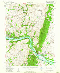
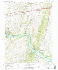
1908 Map of Ijamsville
USGS Topo · Published 1921About this map
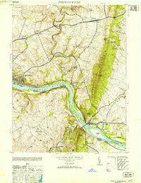
The Monocacy River carves a winding path through this central Maryland landscape, serving as a primary corridor for early transportation and settlement. The city of Frederick stands as a dense hub of infrastructure, where several historic turnpikes, including the Liberty Turnpike and Baltimore Turnpike, converge with the B and O RR and the Frederick RR (Electric). This 1908 survey, updated for military use by the Corps of Engineers, reveals a countryside dotted with social and agricultural markers, from the Montevue Almshouse to the isolated Mt Philip S.H. schoolhouse.
Find a feature on this map
83 named features on this map. Tap any name to fly to it.
Don’t see what you’re looking for? This feature index may not catch every label — zoom into the map to look around manually.
Map Details
Editions of this 1908 Ijamsville Map
This is the sole edition of this map. No revisions or reprints were ever made.
Historical Maps of Frederick Through Time
12 maps found
1908 Ijamsville
Frederick County, MD
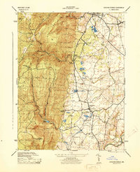
1944 Catoctin Furnace
Frederick County, MD
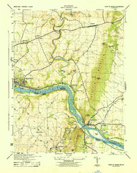
1944 Point Of Rocks
Frederick County, MD
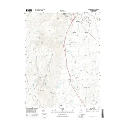
1953 Catoctin Furnace
Frederick County, MD
1953 Point Of Rocks
Frederick County, MD
1955 Point Of Rocks
Frederick County, MD
1970 Point Of Rocks
Frederick County, MD
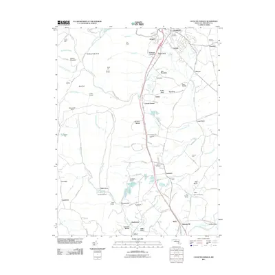
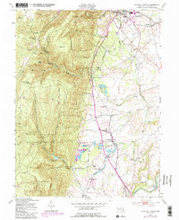
2011 Catoctin Furnace
Frederick County, MD
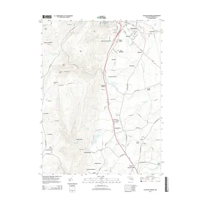
2014 Catoctin Furnace
Frederick County, MD
2016 Catoctin Furnace
Frederick County, MD
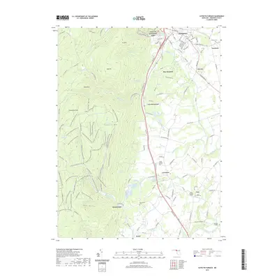
2019 Catoctin Furnace
Frederick County, MD
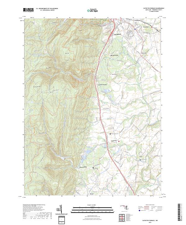
2023 Catoctin Furnace
Frederick County, MD