
1909 Map of Mount Airy
USGS Topo · Published 1909About this map
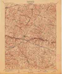
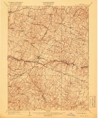
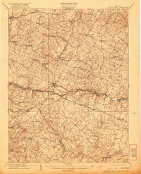
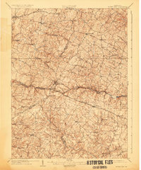
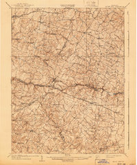
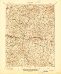
Parrs Ridge forms the high spine of this central Maryland landscape, a divide where the headwaters of the Patapsco River and the Patuxent River begin their paths toward the Chesapeake. The Baltimore and Ohio Railroad provides the primary industrial axis, cutting through Mount Airy and passing several numbered stations such as Plane No 4. This rail-and-road network supported a thriving milling and agricultural economy at the turn of the century, evidenced by sites like Shipleys Mill, Carrs Mill, and Roxbury Mills. The map details the complex intersection of Frederick, Carroll, Howard, and Montgomery counties, showing a dense web of turnpikes and rural roads connecting established hamlets like Libertytown, Taylorsville, and Lisbon. Traditional infrastructure remains prominent, with a Tollgate still noted along the road near Poplar Springs.
Find a feature on this map
95 named features on this map. Tap any name to fly to it.
Don’t see what you’re looking for? This feature index may not catch every label — zoom into the map to look around manually.
Map Details
Editions of this 1909 Mount Airy Map
7 editions found
Other maps of this area

1892 · Laurel
USGS Topo · 1:62,500

1892 · Ellicott
USGS Topo · 1:62,500

1893 · Frederick
USGS Topo · 1:125,000

1894 · Ellicott
USGS Topo · 1:62,500

1894 · Laurel
USGS Topo · 1:62,500

1894 · Frederick
USGS Topo · 1:125,000

1897 · Laurel
USGS Topo · 1:62,500

1905 · Westminster
USGS Topo · 1:62,500

1906 · Ellicott
USGS Topo · 1:62,500

1907 · Laurel
USGS Topo · 1:62,500