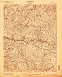
1909 Map of Mount Airy
USGS Topo · Published 1921About this map
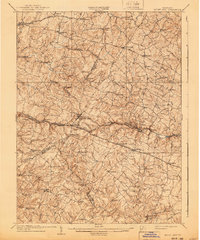
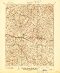
Mount Airy sits at the high point of this Maryland landscape, where the Baltimore and Ohio Railroad crests the drainage divide of Parr Ridge. This survey, conducted shortly after the turn of the century, captures the intricate network of turnpikes and rural settlements across the junction of Carroll, Howard, Frederick, and Montgomery Counties. The transport economy is evident in the transition from the rail-oriented Mount Airy and Woodbine to the older milling and toll-road centers. Along the southern edge, the Patuxent River winds past small industrial hubs like Roxbury Mills, while to the east, the Patapsco River flows through Hoods Mills. The map documents a time when the Poplar Springs Tollgate Turnpike and Taylorville Turnpike remained primary arteries for local commerce and agricultural transit between villages such as Libertytown and Winfield.
Find a feature on this map
69 named features on this map. Tap any name to fly to it.
Don’t see what you’re looking for? This feature index may not catch every label — zoom into the map to look around manually.
Map Details
Editions of this 1909 Mount Airy Map
7 editions found

Other maps of this area

1892 · Laurel
USGS Topo · 1:62,500

1892 · Ellicott
USGS Topo · 1:62,500

1893 · Frederick
USGS Topo · 1:125,000

1894 · Ellicott
USGS Topo · 1:62,500

1894 · Laurel
USGS Topo · 1:62,500

1894 · Frederick
USGS Topo · 1:125,000

1897 · Laurel
USGS Topo · 1:62,500

1905 · Westminster
USGS Topo · 1:62,500

1906 · Ellicott
USGS Topo · 1:62,500

1907 · Laurel
USGS Topo · 1:62,500