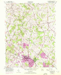
1945 Map of Gaithersburg
USGS Topo · Published 1972About this map
Gaithersburg and its surrounding Montgomery County landscape are captured here in a period of transition, documented by the U.S. Forest Service and USGS just as postwar expansion began to reach this part of Maryland. The Baltimore and Ohio railroad corridor serves as the primary developmental axis, anchoring the town and nearby Washington Grove. To the north and west, the map reveals a more agrarian character defined by numerous small settlements and family-named localities such as Prathertown, Stewart Town, and Brink.
Find a feature on this map
37 named features on this map. Tap any name to fly to it.
Don’t see what you’re looking for? This feature index may not catch every label — zoom into the map to look around manually.
Map Details
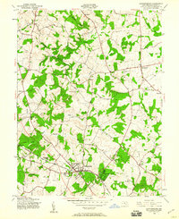
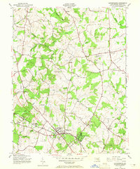
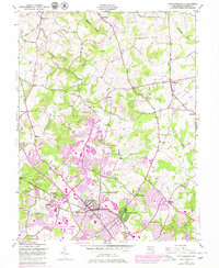
Editions of this 1945 Gaithersburg Map
4 editions found
Other maps of this area

1893 · Frederick
USGS Topo · 1:125,000

1894 · Frederick
USGS Topo · 1:125,000

1908 · Rockville
USGS Topo · 1:62,500

1908 · Seneca
USGS Topo · 1:62,500

1908 · Ijamsville
USGS Topo · 1:62,500

1909 · Mount Airy
USGS Topo · 1:62,500

1909 · Ijamsville
USGS Topo · 1:62,500

1923 · Rockville
USGS Topo · 1:62,500

1942 · Frederick
USGS Topo · 1:62,500

1944 · Germantown
USGS Topo · 1:31,680