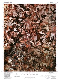
1981 Map of Gaithersburg
USGS Topo · Published 1986About this map
Gaithersburg and the planned community of Montgomery Village dominate the lower portion of this orthophotoquad, which captures the suburban expansion into Montgomery County during the early 1980s. Unlike traditional line maps, this imagery-based survey reveals the exact textures of the landscape, from the dense residential clusters of Washington Grove to the sprawling agricultural fields that still buffered the northern settlements of Prathertown and Redland. The winding course of Great Seneca Creek provides a natural contrast to the grid-like development, cutting across the terrain and defining the undeveloped corridors between emerging neighborhoods. This specific survey was produced using color infrared photography from April 1981, offering a unique perspective on the intersection of Montgomery County's rural roots and its rapid mid-century modernization.
Find a feature on this map
6 named features on this map. Tap any name to fly to it.
Don’t see what you’re looking for? This feature index may not catch every label — zoom into the map to look around manually.
Map Details
Editions of this 1981 Gaithersburg Map
This is the sole edition of this map. No revisions or reprints were ever made.
Other maps of this area

1893 · Frederick
USGS Topo · 1:125,000

1894 · Frederick
USGS Topo · 1:125,000

1908 · Rockville
USGS Topo · 1:62,500

1908 · Seneca
USGS Topo · 1:62,500

1908 · Ijamsville
USGS Topo · 1:62,500

1909 · Mount Airy
USGS Topo · 1:62,500

1909 · Ijamsville
USGS Topo · 1:62,500

1923 · Rockville
USGS Topo · 1:62,500

1942 · Frederick
USGS Topo · 1:62,500

1944 · Germantown
USGS Topo · 1:31,680