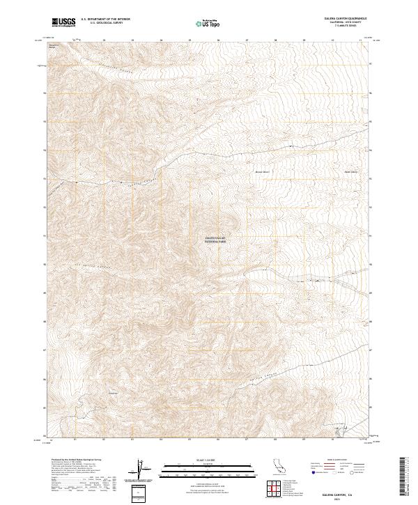
2021 Map of Galena Canyon
USGS Topo · Published 2021About this map
Panamint Range peaks and deep drainage systems dominate this corner of Death Valley National Park, where the high desert terrain transitions toward the valley floor. The map highlights a series of significant alluvial and erosional features, including the eponymous Galena Canyon and Starvation Canyon in the north. This high-altitude landscape is defined by the sharp relief of Gold Hill and the intricate branching of South Fork Johnson Canyon and Johnson Canyon. These canyons represent critical geographical markers for understanding the historical movement and water resources within the Mojave Desert and the greater Death Valley region. The survey also details the complex land management boundaries across multiple townships, providing a clear view of the interface between protected national park land and the surrounding wilderness.
Find a feature on this map
16 named features on this map. Tap any name to fly to it.
Don’t see what you’re looking for? This feature index may not catch every label — zoom into the map to look around manually.
Map Details
Editions of this 2021 Galena Canyon Map
This is the sole edition of this map. No revisions or reprints were ever made.
Other maps of this area

1908 · Furnace Creek
USGS Topo · 1:250,000

1908 · Ballarat
USGS Topo · 1:250,000

1910 · Furnace Creek
USGS Topo · 1:250,000

1913 · Ballarat
USGS Topo · 1:250,000

1915 · Searles Lake
USGS Topo · 1:250,000

1933 · Avawatz Mountains
USGS Topo · 1:250,000

1947 · Trona
USGS Topo · 1:250,000

1948 · Trona
USGS Topo · 1:250,000

1948 · Death Valley
USGS Topo · 1:250,000

1950 · Manly Peak
USGS Topo · 1:62,500