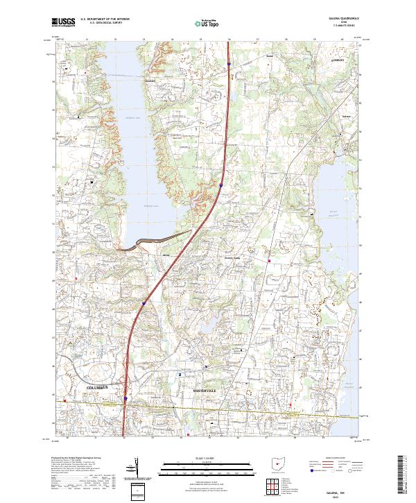
2023 Map of Galena
USGS Topo · Published 2023About this map
Westerville and the expanding northern suburbs of Columbus anchor this 2023 survey of Delaware County. The landscape is defined by the significant hydrological footprint of Williams Lake and Hoover Reservoir, which flank the central corridor of Alum Creek. The suburban development is juxtaposed with older local landmarks, including Otterbein University and several historic burial grounds such as Olde Methodist Cem and Africa Cem. Small settlements like Galena, Cheshire, and Africa provide a glimpse into the area's rural foundations before the modern residential expansion. The map also traces the county line between Delaware Co and Franklin Co, showing the density of new housing developments through an intricate network of streets such as Whispering Pines Rd and Alum Crossing Dr.
Find a feature on this map
81 named features on this map. Tap any name to fly to it.
Don’t see what you’re looking for? This feature index may not catch every label — zoom into the map to look around manually.
Map Details
Editions of this 2023 Galena Map
This is the sole edition of this map. No revisions or reprints were ever made.
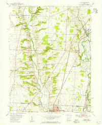
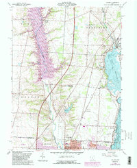
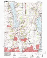
Historical Maps of Orange Township Through Time
4 maps found