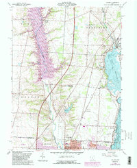
1964 Map of Galena
USGS Topo · Published 1983About this map
Alum Creek Lake and the Hoover Reservoir dominate this central Ohio landscape, reflecting the mid-20th-century water management projects that reshaped the valleys of Alum Creek and Little Walnut Creek. The map captures the northward expansion of Westerville and Columbus, where new urban development, indicated by purple revisions, begins to encroach upon the traditional rural townships of Genoa and Orange.
Find a feature on this map
50 named features on this map. Tap any name to fly to it.
Don’t see what you’re looking for? This feature index may not catch every label — zoom into the map to look around manually.
Map Details
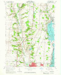
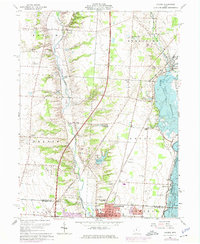
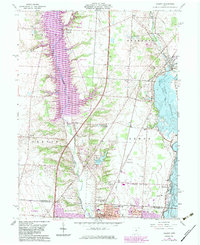
Editions of this 1964 Galena Map
4 editions found
Other maps of this area

1901 · Dublin
USGS Topo · 1:62,500

1902 · Westerville
USGS Topo · 1:62,500

1903 · Dublin
USGS Topo · 1:62,500

1904 · Westerville
USGS Topo · 1:62,500

1915 · Marengo
USGS Topo · 1:62,500

1924 · Delaware
USGS Topo · 1:62,500

1925 · Delaware
USGS Topo · 1:62,500

1943 · Marengo
USGS Topo · 1:62,500

1944 · Delaware
USGS Topo · 1:62,500

1950 · Marion
USGS Topo · 1:250,000