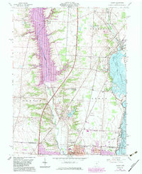
1964 Map of Galena
USGS Topo · Published 1983About this map
The transition from rural Delaware County into the northern edge of Columbus is captured here during a period of significant hydrological and suburban change. The sprawling Alum Creek Lake and Hoover Reservoir dominate the landscape, reflecting the mid-century infrastructure projects that altered the natural flow of Big Walnut Creek and Little Walnut Creek. At the southern edge of the sheet, the expansion of Westerville is anchored by the campus of Otterbein College, while the historic heart of Galena sits near the northern reaches of the reservoir. Local history is preserved in landmarks such as the Township Meeting House and the small settlement of Africa. Transportation corridors like the Conrail line and the Worthington-Galena Road connect these outlying villages to the growing capital city, while Kilns near Galena point to the area's industrial past.
Find a feature on this map
45 named features on this map. Tap any name to fly to it.
Don’t see what you’re looking for? This feature index may not catch every label — zoom into the map to look around manually.
Map Details
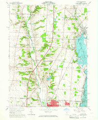
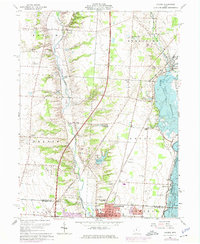
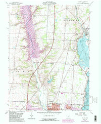
Editions of this 1964 Galena Map
4 editions found
Other maps of this area

1901 · Dublin
USGS Topo · 1:62,500

1902 · Westerville
USGS Topo · 1:62,500

1903 · Dublin
USGS Topo · 1:62,500

1904 · Westerville
USGS Topo · 1:62,500

1915 · Marengo
USGS Topo · 1:62,500

1924 · Delaware
USGS Topo · 1:62,500

1925 · Delaware
USGS Topo · 1:62,500

1943 · Marengo
USGS Topo · 1:62,500

1944 · Delaware
USGS Topo · 1:62,500

1950 · Marion
USGS Topo · 1:250,000