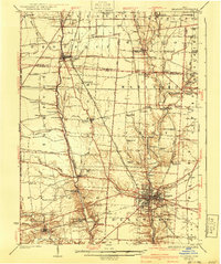
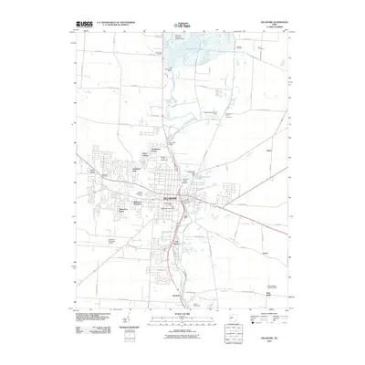
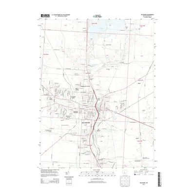
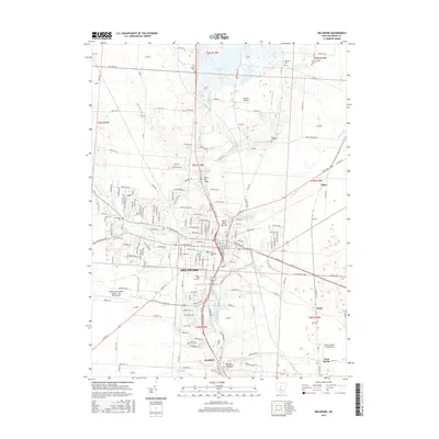
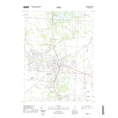
1925 Map of Delaware
USGS Topo · Published 1940About this map
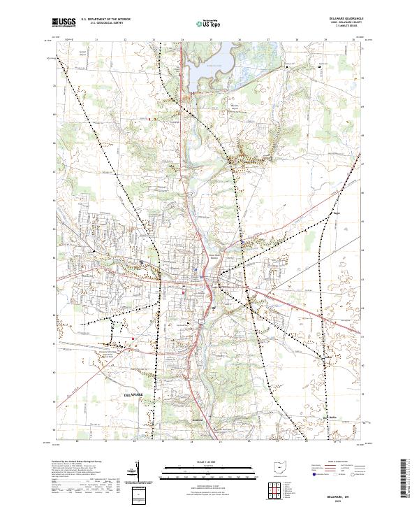
The Scioto River and Olentangy River dominate this central Ohio landscape, carving through the glacial till between the northern villages of Waldo and Prospect. In the mid-1920s, this region was a dense network of agrarian communities, linked by the Pennsylvania Line and the Hocking Valley railroads. The map records a significant shift in transportation, specifically noting the Columbus and Marion (Abandoned) line and portions of the Hocking Valley (Abandoned) tracks, marking the transition away from early traction lines and short-haul rails.
Find a feature on this map
94 named features on this map. Tap any name to fly to it.
Don’t see what you’re looking for? This feature index may not catch every label — zoom into the map to look around manually.
Map Details
Editions of this 1925 Delaware Map
This is the sole edition of this map. No revisions or reprints were ever made.
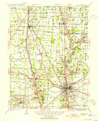
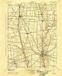
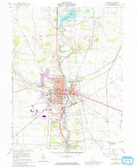
Historical Maps of Delaware Through Time
9 maps found
Featured Locations
- Delaware, OH
- Scioto, Scioto Township
- Ostrander, Scioto Township
- Prospect, Prospect Township
- Radnor, Radnor Township