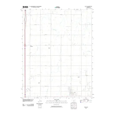
2009 Map of Galva
USGS Topo · Published 2009About this map
Galva anchors the southeastern corner of this Central Kansas landscape, where the agricultural grid meets a legacy of energy extraction. This 2009 survey highlights the geographic footprint of the local petroleum industry, specifically through the McPherson Oil Field, Chindberg Oil Field, and Ritz Canton Oil Field. These sites are interspersed among a network of section-line roads with names like Quivera Rd and Pawnee Rd, reflecting the heritage of the Great Plains.
Find a feature on this map
25 named features on this map. Tap any name to fly to it.
Don’t see what you’re looking for? This feature index may not catch every label — zoom into the map to look around manually.
Map Details
Editions of this 2009 Galva Map
This is the sole edition of this map. No revisions or reprints were ever made.
Other maps of this area

1889 · Newton
USGS Topo · 1:125,000

1889 · Abilene
USGS Topo · 1:125,000

1891 · Hutchinson
USGS Topo · 1:125,000

1892 · Salina
USGS Topo · 1:125,000

1893 · Hutchinson
USGS Topo · 1:125,000

1894 · Newton
USGS Topo · 1:125,000

1894 · Abilene
USGS Topo · 1:125,000

1942 · Salina
USGS Topo · 1:125,000

1955 · Hutchinson
USGS Topo · 1:250,000

1959 · Hutchinson
USGS Topo · 1:250,000