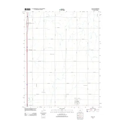
2012 Map of Galva
USGS Topo · Published 2012About this map
Galva sits at the southern edge of this McPherson County landscape, a community defined by its grid of streets including S Santa Fe St and Main St. The surrounding countryside reveals an active industrial history, dominated by the presence of the Chindberg Oil Field, McPherson Oil Field, and Ritz Canton Oil Field. These energy-producing zones are interspersed among a network of agricultural roads with names that recall the region's heritage, such as Quivira Rd, Pawnee Rd, and Mohawk Rd. To the northwest, the settlement of New Gottland serves as a local landmark near the Kansas Department of Transportation McPherson County Rest Area. The terrain is drained by a series of north-south waterways including Kentucky Cr, Turkey Cr, and Dry Turkey Cr, which carve subtle paths through the prairie section lines.
Find a feature on this map
33 named features on this map. Tap any name to fly to it.
Don’t see what you’re looking for? This feature index may not catch every label — zoom into the map to look around manually.
Map Details
Editions of this 2012 Galva Map
This is the sole edition of this map. No revisions or reprints were ever made.
Other maps of this area

1889 · Newton
USGS Topo · 1:125,000

1889 · Abilene
USGS Topo · 1:125,000

1891 · Hutchinson
USGS Topo · 1:125,000

1892 · Salina
USGS Topo · 1:125,000

1893 · Hutchinson
USGS Topo · 1:125,000

1894 · Newton
USGS Topo · 1:125,000

1894 · Abilene
USGS Topo · 1:125,000

1942 · Salina
USGS Topo · 1:125,000

1955 · Hutchinson
USGS Topo · 1:250,000

1959 · Hutchinson
USGS Topo · 1:250,000