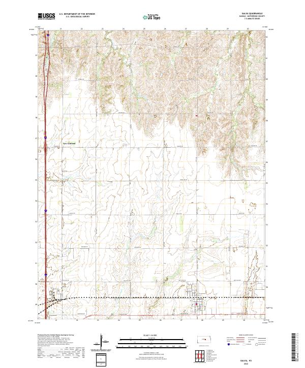
2022 Map of Galva
USGS Topo · Published 2022About this map
Galva sits at the southern edge of this McPherson County landscape, serving as a primary hub for the surrounding agricultural community. The terrain is defined by a dendritic network of waterways, including Kentucky Cr, Turkey Cr, and Gypsum Cr, which carve through the plains and influence the placement of rural homesteads and roads. To the northwest, the small settlement of New Gottland remains a distinct point of interest for local historians, reflecting the region's heritage of specific immigrant-founded communities.
Find a feature on this map
31 named features on this map. Tap any name to fly to it.
Don’t see what you’re looking for? This feature index may not catch every label — zoom into the map to look around manually.
Map Details
Editions of this 2022 Galva Map
This is the sole edition of this map. No revisions or reprints were ever made.
Other maps of this area

1889 · Newton
USGS Topo · 1:125,000

1889 · Abilene
USGS Topo · 1:125,000

1891 · Hutchinson
USGS Topo · 1:125,000

1892 · Salina
USGS Topo · 1:125,000

1893 · Hutchinson
USGS Topo · 1:125,000

1894 · Newton
USGS Topo · 1:125,000

1894 · Abilene
USGS Topo · 1:125,000

1942 · Salina
USGS Topo · 1:125,000

1955 · Hutchinson
USGS Topo · 1:250,000

1959 · Hutchinson
USGS Topo · 1:250,000