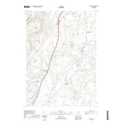
2019 Map of Gansevoort
USGS Topo · Published 2019About this map
Gansevoort and the surrounding Saratoga County landscape appear in this modern survey, highlighting a region defined by its complex network of streams and colonial-era settlement patterns. The terrain rises sharply to the west into the Palmertown Range and Grant Mtn, providing a backdrop for the numerous small communities scattered across the lower elevations. Genealogists will find exceptional detail in the distribution of family and community burial grounds, from the centralized Gansevoort Cem to more secluded locations like Griswold Cem near the northern boundary and the cluster of Gurn Springs Cem, Emersons Corners Cem, and Perry Cem near Gurn Spring. Waterways like the Snook Kill and Delegan Brook wind through a mix of wooded hills and open spaces such as Miller Swamp, illustrating the hydrological character that once powered local industry and dictated the placement of hamlets like Ballard Corners and Fortsville.
Find a feature on this map
150 named features on this map. Tap any name to fly to it.
Don’t see what you’re looking for? This feature index may not catch every label — zoom into the map to look around manually.
Map Details
Editions of this 2019 Gansevoort Map
This is the sole edition of this map. No revisions or reprints were ever made.
Other maps of this area

1895 · Glens Falls
USGS Topo · 1:62,500

1897 · Glens Falls
USGS Topo · 1:62,500

1900 · Schuylerville
USGS Topo · 1:62,500

1902 · Saratoga
USGS Topo · 1:62,500

1903 · Luzerne
USGS Topo · 1:62,500
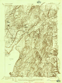
1934 · Quaker Springs
USGS Topo · 1:24,000

1934 · Saratoga Springs
USGS Topo · 1:24,000

1935 · Gansevoort
USGS Topo · 1:24,000
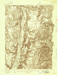
1935 · Schuylerville
USGS Topo · 1:24,000
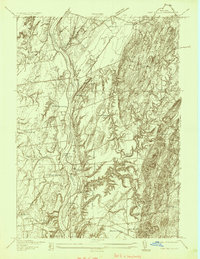
1935 · Fort Miller
USGS Topo · 1:24,000