
1900 Map of Schuylerville
USGS Topo · Published 1900About this map
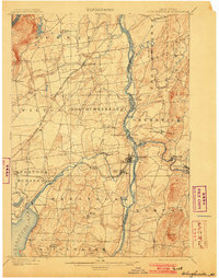
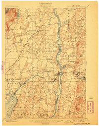
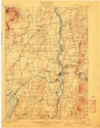
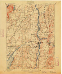
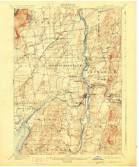
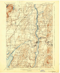
The Saratoga Battle Field anchors the southern portion of this 1898 survey, documenting the landscape of the upper Hudson Valley at the close of the nineteenth century. The Hudson River serves as the central artery and county boundary, paralleled by the vital Champlain Canal which supported the region's industrial growth. Significant milling and manufacturing activity is evident at settlements like Schuylerville, Victory Mills, and Thomson where the Fish Creek and Batten Kill provide water power.
Find a feature on this map
59 named features on this map. Tap any name to fly to it.
Don’t see what you’re looking for? This feature index may not catch every label — zoom into the map to look around manually.
Map Details
Editions of this 1900 Schuylerville Map
7 editions found
Other maps of this area

1893 · Cohoes
USGS Topo · 1:62,500

1893 · Schenectady
USGS Topo · 1:62,500

1893 · Fort Ann
USGS Topo · 1:62,500

1895 · Cohoes
USGS Topo · 1:62,500

1895 · Cambridge
USGS Topo · 1:62,500

1895 · Fort Ann
USGS Topo · 1:62,500

1895 · Schenectady
USGS Topo · 1:62,500

1895 · Glens Falls
USGS Topo · 1:62,500

1897 · Glens Falls
USGS Topo · 1:62,500

1897 · Hoosick
USGS Topo · 1:62,500