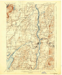
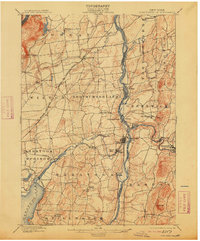
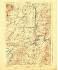
1900 Map of Schuylerville
USGS Topo · Published 1931About this map
The Hudson River serves as the central artery for this turn-of-the-century landscape, defining the boundary between Saratoga and Washington counties. Near the river's bend, the Battle Monument stands in Schuylerville, overlooking a region deeply tied to Revolutionary War history and the burgeoning industrial power of the late 1800s. To the south, the Saratoga Battlefield and Quaker Springs mark the site of historic military maneuvers, while the industrial character of the era is evident in the cluster of textile and paper works at Victory Mills and Middle Falls.
Find a feature on this map
64 named features on this map. Tap any name to fly to it.
Don’t see what you’re looking for? This feature index may not catch every label — zoom into the map to look around manually.
Map Details
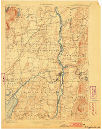
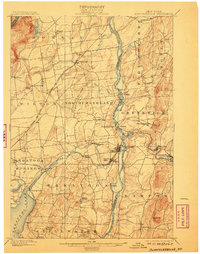
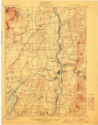
Editions of this 1900 Schuylerville Map
7 editions found

Other maps of this area

1893 · Cohoes
USGS Topo · 1:62,500

1893 · Schenectady
USGS Topo · 1:62,500

1893 · Fort Ann
USGS Topo · 1:62,500

1895 · Cohoes
USGS Topo · 1:62,500

1895 · Cambridge
USGS Topo · 1:62,500

1895 · Fort Ann
USGS Topo · 1:62,500

1895 · Schenectady
USGS Topo · 1:62,500

1895 · Glens Falls
USGS Topo · 1:62,500

1897 · Glens Falls
USGS Topo · 1:62,500

1897 · Hoosick
USGS Topo · 1:62,500