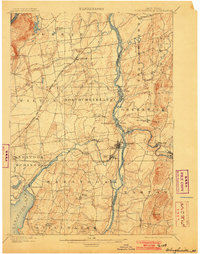
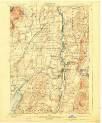
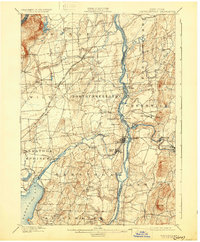
1900 Map of Schuylerville
USGS Topo · Published 1903About this map
The Hudson River serves as the central artery for this late 19th-century landscape, acting as the Saratoga-Washington County boundary line. The region is steeped in revolutionary history, anchored by the Saratoga Battlefield in the south and the prominent Battle Monument at Schuylerville. Industrial and transit corridors are well-defined, with the Canal paralleling the river and several rail lines, including the Fitchburg R.R. and the Delaware and Hudson R.R., connecting riverside manufacturing hubs like Victory Mills and Thomson.
Find a feature on this map
68 named features on this map. Tap any name to fly to it.
Don’t see what you’re looking for? This feature index may not catch every label — zoom into the map to look around manually.
Map Details
Editions of this 1900 Schuylerville Map
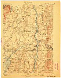
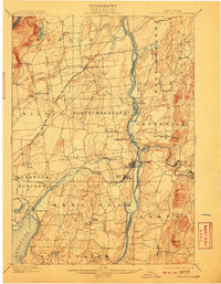
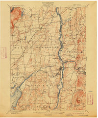
7 editions found

Other maps of this area

1893 · Cohoes
USGS Topo · 1:62,500

1893 · Schenectady
USGS Topo · 1:62,500

1893 · Fort Ann
USGS Topo · 1:62,500

1895 · Cohoes
USGS Topo · 1:62,500

1895 · Cambridge
USGS Topo · 1:62,500

1895 · Fort Ann
USGS Topo · 1:62,500

1895 · Schenectady
USGS Topo · 1:62,500

1895 · Glens Falls
USGS Topo · 1:62,500

1897 · Glens Falls
USGS Topo · 1:62,500

1897 · Hoosick
USGS Topo · 1:62,500