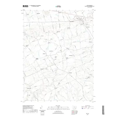
2019 Map of Gap
USGS Topo · Published 2019About this map
Gap, Pennsylvania, and its surrounding villages are characterized by a dense network of religious and family burial grounds that speak to the area's deep sectarian roots. The landscape is defined by the prominent Mine Ridge and Coral Hill, which separate the northern settlements like Kinzers and Jacksonville from the southern farming communities of Bartville and Ninepoints. This rural topography is crossed by numerous waterways including Meetinghouse Cr and the W Br Octoraro Cr, reflecting a long history of water-dependent agricultural development.
Find a feature on this map
80 named features on this map. Tap any name to fly to it.
Don’t see what you’re looking for? This feature index may not catch every label — zoom into the map to look around manually.
Map Details
Editions of this 2019 Gap Map
This is the sole edition of this map. No revisions or reprints were ever made.
Other maps of this area

1904 · Coatesville
USGS Topo · 1:62,500

1905 · Honey Brook
USGS Topo · 1:62,500

1906 · Coatesville
USGS Topo · 1:62,500

1906 · New Holland
USGS Topo · 1:62,500

1907 · Honeybrook
USGS Topo · 1:62,500

1908 · New Holland
USGS Topo · 1:62,500

1912 · Quarryville
USGS Topo · 1:62,500

1918 · Coatesville
USGS Topo · 1:62,500

1941 · Honeybrook
USGS Topo · 1:62,500

1941 · New Holland
USGS Topo · 1:62,500
Featured Places
- Paradise Township, PA
- Bart Township, PA
- Sadsbury Township, PA
- Ninepoints, Bart Township
- Smyrna, Sadsbury Township