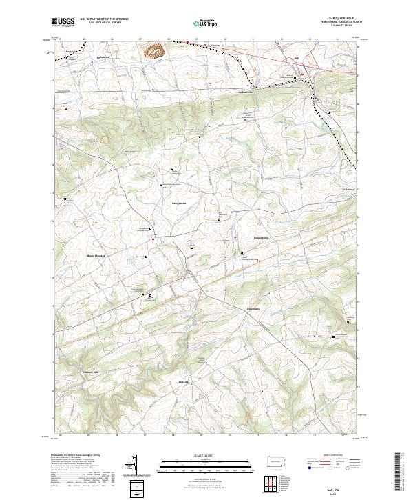
2023 Map of Gap
USGS Topo · Published 2023About this map
Mine Ridge and Wolf Rock Hill define the rolling landscape of eastern Lancaster County, where small agricultural settlements and religious meeting houses have anchored the community for generations. This modern survey illustrates the enduring footprint of Amish and Mennonite heritage, evidenced by numerous burial grounds such as the Mine Road Amish Mennonite Cem and the Bartville Amish Graveyard. The infrastructure of the area is highlighted by the Enola Low Grade Trl, which traverses the terrain south of Coopersville, following a path carved by earlier transportation corridors. From the clustered crossroads at Ninepoints to the northern edge of Gap, the map details a network of family-named landmarks and rural churches, including the Calvary Monument Bible Church and the Octorara United Presbyterian Cem, reflecting the deep-rooted social and genealogical history of this portion of the Pennsylvania countryside.
Find a feature on this map
77 named features on this map. Tap any name to fly to it.
Don’t see what you’re looking for? This feature index may not catch every label — zoom into the map to look around manually.
Map Details
Editions of this 2023 Gap Map
This is the sole edition of this map. No revisions or reprints were ever made.
Historical Maps of Kinzers Through Time
Featured Locations
- Bart Township, PA
- Eden Township, PA
- Paradise Township, PA
- Sadsbury Township, PA
- Bartville, Bart Township