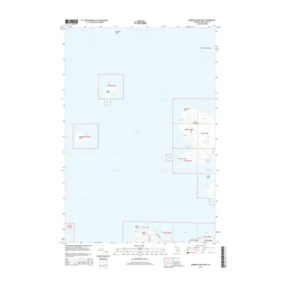
2014 Map of Garden Island West
USGS Topo · Published 2014About this map
Lake Michigan surrounds the northern reaches of the Beaver Archipelago in this 2014 survey. The map focuses on the western portion of Garden Island, highlighting the complex shoreline of Bomways Bay and Ninnegoes Bay. These waters historically supported local fishing and transport networks between the islands. To the south, the northern tip of Beaver Island contains the settlement of Saint James, where the Saint James Township Cem is situated near Lookout Point. Scattered outposts like Squaw Island and Whisky Island mark the isolated character of these Lake Michigan landmasses. The map also traces local infrastructure such as Milliken Rd and Indian Point Rd, providing a clear record of the modern roads that connect the historic landings and points across the archipelago.
Find a feature on this map
29 named features on this map. Tap any name to fly to it.
Don’t see what you’re looking for? This feature index may not catch every label — zoom into the map to look around manually.
Map Details
Editions of this 2014 Garden Island West Map
This is the sole edition of this map. No revisions or reprints were ever made.
Other maps of this area
1955 · Hog Island
USGS Topo · 1:62,500
1955 · Cheboygan
USGS Topo · 1:250,000
1956 · Beaver Island
USGS Topo · 1:62,500
1958 · Cheboygan
USGS Topo · 1:250,000
1973 · Point Patterson
USGS Topo · 1:24,000
1980 · Garden Island West
USGS Topo · 1:24,000
1984 · Beaver Island
USGS Topo · 1:100,000
1986 · High Island
USGS Topo · 1:24,000
1986 · Beaver Island North
USGS Topo · 1:24,000
1986 · Hog Island West
USGS Topo · 1:24,000