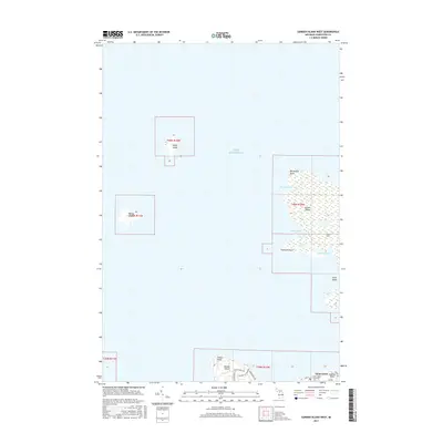
2017 Map of Garden Island West
USGS Topo · Published 2017About this map
Garden Island and the northern tip of Beaver Island anchor this archipelago survey in the waters of Lake Michigan. The map details a landscape defined by isolated landmasses and sheltered inlets, including Ninnegoes Bay and Bomways Bay on the western shores of Garden Island. A network of local roads such as Indian Point Rd and Garden Isle View Rd provides access to the interior terrain, while the coastal geography is marked by distinctive features like Northwest Point and Grahams Point. Genealogists will find the location of the Saint James Township Cem and the Indian Cems particularly significant, offering a glimpse into the burial traditions and settlement history of this remote island township. The presence of Saint James at the southern edge of the sheet shows the primary hub connecting these islands to the mainland.
Find a feature on this map
26 named features on this map. Tap any name to fly to it.
Don’t see what you’re looking for? This feature index may not catch every label — zoom into the map to look around manually.
Map Details
Editions of this 2017 Garden Island West Map
This is the sole edition of this map. No revisions or reprints were ever made.
Other maps of this area

1955 · Hog Island
USGS Topo · 1:62,500

1955 · Cheboygan
USGS Topo · 1:250,000

1956 · Beaver Island
USGS Topo · 1:62,500

1958 · Cheboygan
USGS Topo · 1:250,000
1973 · Point Patterson
USGS Topo · 1:24,000
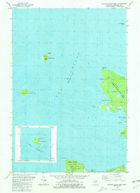
1980 · Garden Island West
USGS Topo · 1:24,000

1984 · Beaver Island
USGS Topo · 1:100,000

1986 · High Island
USGS Topo · 1:24,000

1986 · Beaver Island North
USGS Topo · 1:24,000
1986 · Hog Island West
USGS Topo · 1:24,000