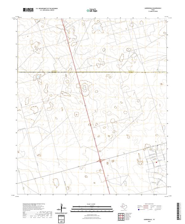
2022 Map of Gardendale
USGS Topo · Published 2022About this map
The Ector Co and Andrews Co border divides this landscape of the Permian Basin, where the expanding residential grid of Gardendale meets the open ranching and oil fields of West Texas. The southeastern corner of the sheet shows a dense concentration of floral-named streets, including Morning Glory Rd, E Goldenrod Dr, and E Sweetpea Dr, illustrating the suburban growth north of Odessa. This development contrasts sharply with the western half of the map, which is defined by long, straight thoroughfares like Wire Line Rd and Co Hwy 26. The presence of Boy Scouts Ranch Rd in the west suggests a shift from residential subdivisions to larger land tracts and recreational acreage. The map captures a moment of transition where the traditional industrial and ranching roads are being intersected by modern neighborhood planning.
Find a feature on this map
21 named features on this map. Tap any name to fly to it.
Don’t see what you’re looking for? This feature index may not catch every label — zoom into the map to look around manually.
Map Details
Editions of this 2022 Gardendale Map
This is the sole edition of this map. No revisions or reprints were ever made.
Other maps of this area

1954 · Hobbs
USGS Topo · 1:250,000

1954 · Pecos
USGS Topo · 1:250,000

1957 · Pecos
USGS Topo · 1:250,000

1958 · Hobbs
USGS Topo · 1:250,000

1964 · Odessa NE
USGS Topo · 1:24,000

1964 · Odessa NW
USGS Topo · 1:24,000

1965 · Goldsmith
USGS Topo · 1:24,000

1967 · North Cowden
USGS Topo · 1:24,000

1968 · Baird Lake
USGS Topo · 1:24,000

1968 · Gardendale NW
USGS Topo · 1:24,000