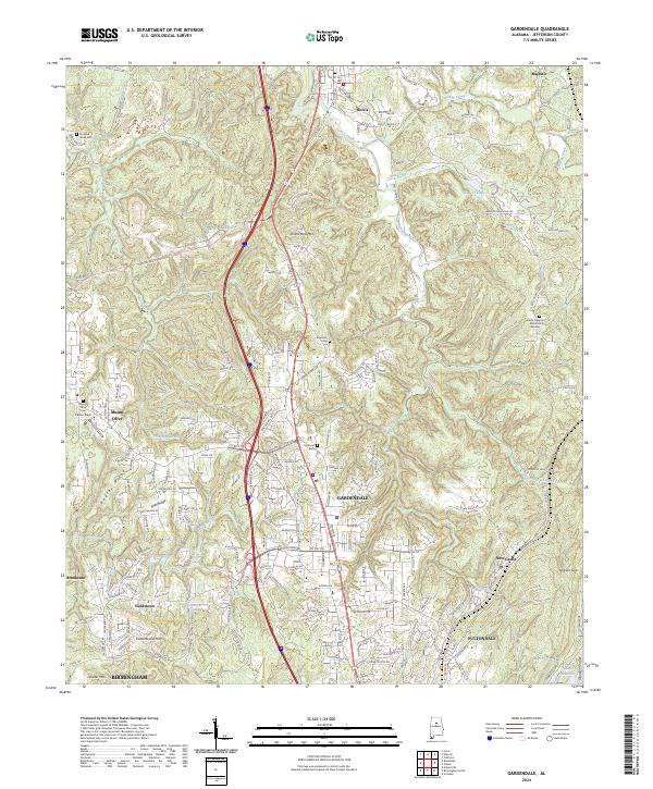
2024 Map of Gardendale
USGS Topo · Published 2024About this map
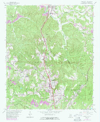
Gardendale and the surrounding Jefferson County landscape appear here in a period of significant residential and suburban density north of Birmingham. The terrain is defined by a series of prominent ridges, including Bagley Ridge, Shell Ridge, and Yellow Bird Mtn, which have historically dictated the layout of transportation routes through the Opossum Valley. Local family history is preserved in numerous burial grounds scattered across the quadrangle, from the Crooked Creek Cem in the northwest to the Moncrief Cem and Edwards Cem near the central settlements.
Find a feature on this map
175 named features on this map. Tap any name to fly to it.
Don’t see what you’re looking for? This feature index may not catch every label — zoom into the map to look around manually.
Map Details
Editions of this 2024 Gardendale Map
This is the sole edition of this map. No revisions or reprints were ever made.
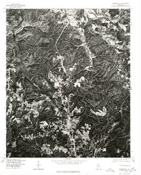
Historical Maps of Majestic Through Time
3 maps found