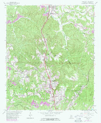
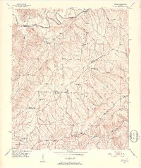
1959 Map of Gardendale
USGS Topo · Published 1989About this map
The Gardendale region during the late 1950s serves as a hub of mid-century growth in Jefferson County, where the Bee Line Highway and the Louisville and Nashville railroad corridor dictated the pattern of local commerce. While industrial activity is evident through the Strip Mines and Tailings near New Castle, the landscape is dotted with community anchors like the Snow Roberts Sch and Glenns Chapel. The rugged terrain of Bagley Ridge and Sherman Ridge frames the winding course of Crooked Creek and Turkey Creek, creating distinct pockets for smaller settlements such as Mt Olive and Fieldstown. Genealogists will find particular value in the documentation of family-named landmarks and rural institutions, from the Moncrief Cem to the New Castle Community House, capturing a specific moment of transition before later suburban expansion altered the rural character of these Alabama communities.
Find a feature on this map
52 named features on this map. Tap any name to fly to it.
Don’t see what you’re looking for? This feature index may not catch every label — zoom into the map to look around manually.
Map Details
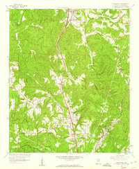
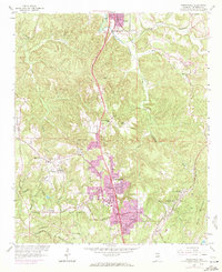
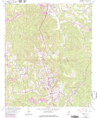
Editions of this 1959 Gardendale Map
4 editions found
Other maps of this area

1889 · Birmingham
USGS Topo · 1:125,000

1892 · Birmingham
USGS Topo · 1:125,000

1895 · Birmingham
USGS Topo · 1:125,000

1904 · Birmingham Coal District
USGS Topo · 1:62,500

1905 · Leeds
USGS Topo · 1:62,500

1906 · Birmingham Special
USGS Topo · 1:62,500

1907 · Birmingham
USGS Topo · 1:125,000

1907 · Leeds
USGS Topo · 1:62,500

1951 · Warrior
USGS Topo · 1:24,000
1951 · Creel
USGS Topo · 1:24,000