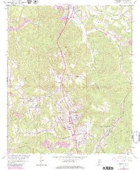
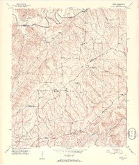
1959 Map of Gardendale
USGS Topo · Published 1979About this map
Industrial and residential growth define this corridor north of Birmingham, where the Louisville and Nashville railroad tracks follow the winding course of Cunningham Creek. The landscape is a complex mix of mid-century suburban expansion and active resource extraction, notably near New Castle, where Strip Mines and Tailings are prominent alongside the New Castle Community House. The presence of numerous Strip Mines across the quadrangle indicates a terrain heavily shaped by the coal industry, even as residential centers like Gardendale and Mt Olive expand. Communities are anchored by local landmarks such as Glenns Chapel and Beechwood Ch, while the Filtration Plant and Lookout Tower near the Bee Line Highway highlight the developing infrastructure of the late 1950s. Genealogy researchers will find several family-named burial grounds and small rural churches, including Moncrief Cem and Shady Grove Ch, providing important spatial context for the area's ancestral settlements.
Find a feature on this map
49 named features on this map. Tap any name to fly to it.
Don’t see what you’re looking for? This feature index may not catch every label — zoom into the map to look around manually.
Map Details
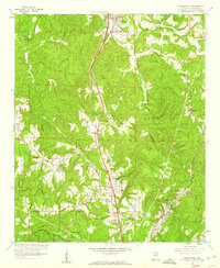
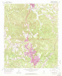
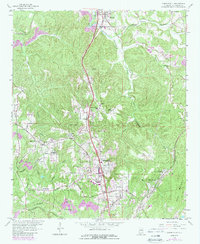
Editions of this 1959 Gardendale Map
4 editions found
Other maps of this area

1889 · Birmingham
USGS Topo · 1:125,000

1892 · Birmingham
USGS Topo · 1:125,000

1895 · Birmingham
USGS Topo · 1:125,000

1904 · Birmingham Coal District
USGS Topo · 1:62,500

1905 · Leeds
USGS Topo · 1:62,500

1906 · Birmingham Special
USGS Topo · 1:62,500

1907 · Birmingham
USGS Topo · 1:125,000

1907 · Leeds
USGS Topo · 1:62,500

1951 · Warrior
USGS Topo · 1:24,000
1951 · Creel
USGS Topo · 1:24,000