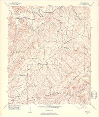
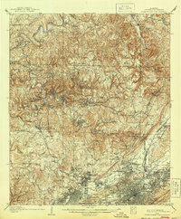
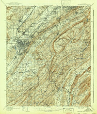
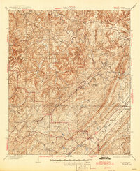
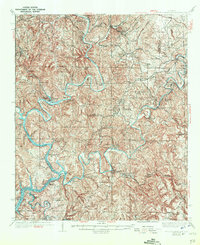
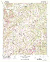
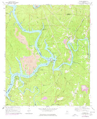
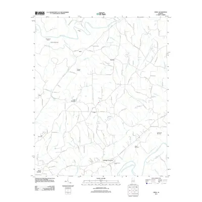
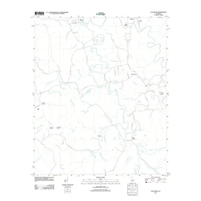
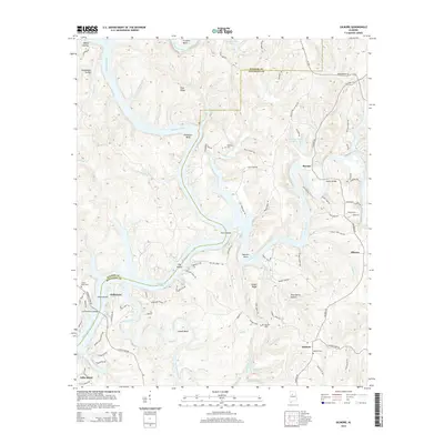
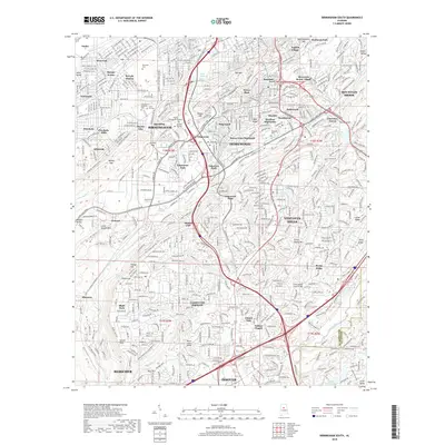
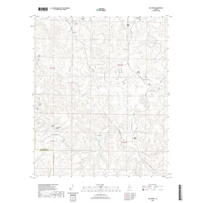
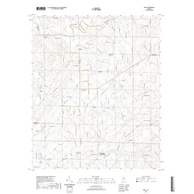
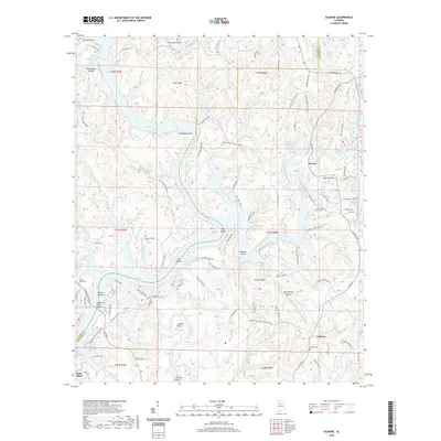
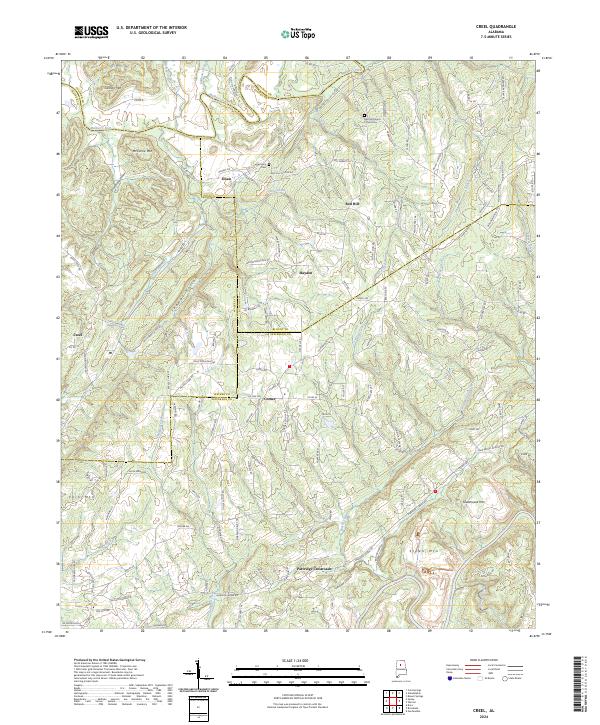
1951 Map of Creel
USGS Topo · Published 1952About this map
Mulberry Fork and Locust Fork carve through the north and south of this topographic study, defining a landscape of high ridges and deep hollows where four counties meet. During the early 1950s, this area of North-Central Alabama was a patchwork of small farming communities and country crossroads, such as Creel, Sloan, and Partridge Crossroads. The social life of the region is traced through its numerous rural congregations, including Little Vine Ch, Antioch Ch, and New Zion Hill Ch.
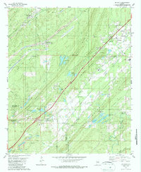
Find a feature on this map
44 named features on this map. Tap any name to fly to it.
Don’t see what you’re looking for? This feature index may not catch every label — zoom into the map to look around manually.
Map Details
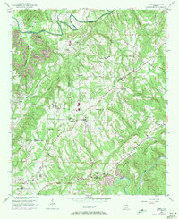
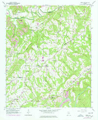
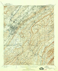
Editions of this 1951 Creel Map
5 editions found

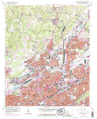
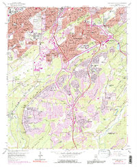
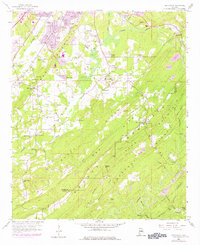
Historical Maps of Hayden Through Time
57 maps found

1904 Birmingham Coal District
Jefferson County, AL
1905 Bessemer Iron District
Jefferson County, AL
1906 Birmingham Coal District
Jefferson County, AL
1907 Bessemer Iron District
Jefferson County, AL

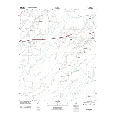
1927 Adger
Jefferson County, AL

1932 Yolande
Jefferson County, AL

1935 Port Birmingham
Jefferson County, AL
1935 Yolande
Jefferson County, AL
1938 Port Birmingham
Jefferson County, AL
1951 Creel
Jefferson County, AL
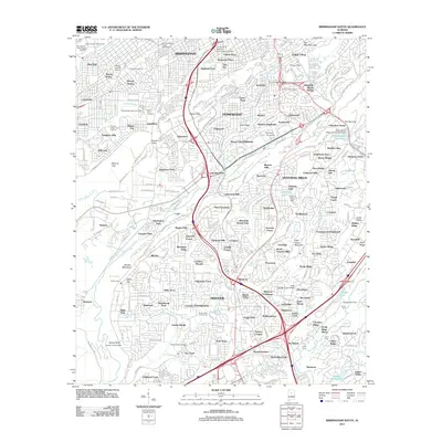
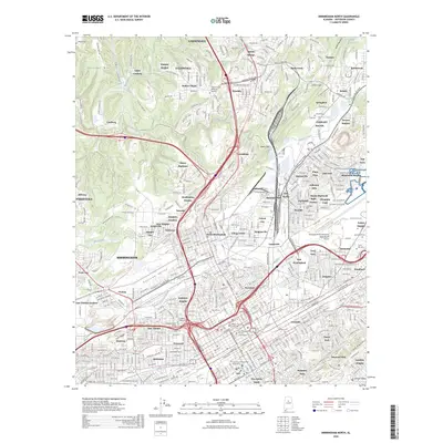
1959 Birmingham North
Jefferson County, AL
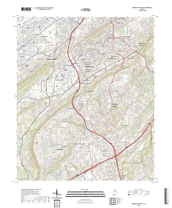
1959 Birmingham South
Jefferson County, AL
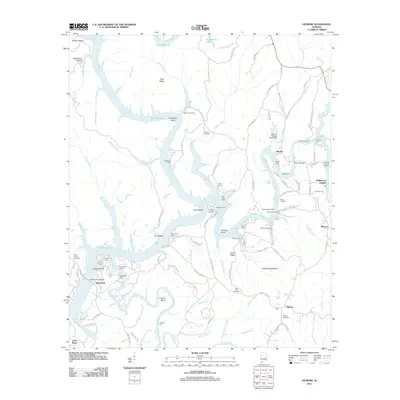
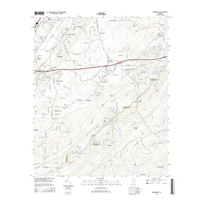
1959 Greenwood
Jefferson County, AL
1971 Gilmore
Jefferson County, AL

1975 Birmingham North
Jefferson County, AL

1975 Birmingham South
Jefferson County, AL

1975 Creel
Jefferson County, AL

1975 Gilmore
Jefferson County, AL

1975 Greenwood
Jefferson County, AL

1975 Yolande NE
Jefferson County, AL

1975 Yolande NW
Jefferson County, AL

1975 Yolande SE
Jefferson County, AL
1980 Mc Calla
Jefferson County, AL
1980 Oak Grove
Jefferson County, AL

1997 Birmingham North
Jefferson County, AL

1997 Birmingham South
Jefferson County, AL
2011 Birmingham North
Jefferson County, AL
2011 Birmingham South
Jefferson County, AL
2011 Creel
Jefferson County, AL
2011 Gilmore
Jefferson County, AL
2011 Greenwood
Jefferson County, AL
2011 Oak Grove
Jefferson County, AL
2014 Birmingham North
Jefferson County, AL
2014 Birmingham South
Jefferson County, AL
2014 Creel
Jefferson County, AL
2014 Gilmore
Jefferson County, AL
2014 Greenwood
Jefferson County, AL
2014 Oak Grove
Jefferson County, AL
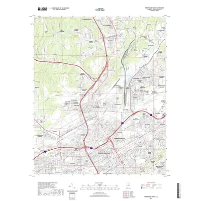
2018 Birmingham North
Jefferson County, AL
2018 Birmingham South
Jefferson County, AL
2018 Creel
Jefferson County, AL
2018 Gilmore
Jefferson County, AL
2018 Greenwood
Jefferson County, AL
2018 Oak Grove
Jefferson County, AL
2020 Birmingham North
Jefferson County, AL
2020 Birmingham South
Jefferson County, AL
2020 Creel
Jefferson County, AL
2020 Gilmore
Jefferson County, AL
2020 Greenwood
Jefferson County, AL
2020 Oak Grove
Jefferson County, AL
2024 Birmingham North
Jefferson County, AL
2024 Birmingham South
Jefferson County, AL
2024 Creel
Jefferson County, AL
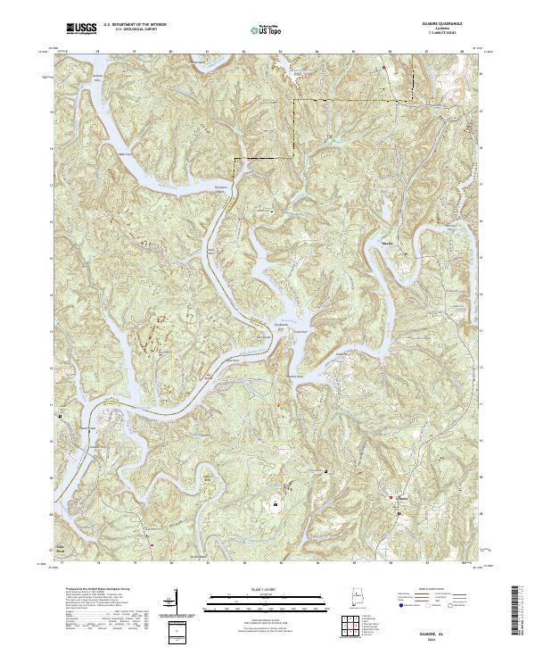
2024 Gilmore
Jefferson County, AL
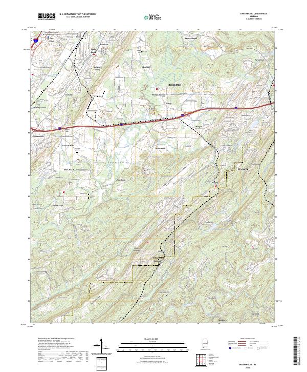
2024 Greenwood
Jefferson County, AL
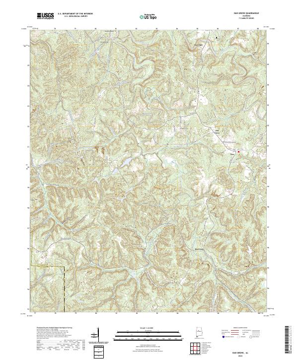
2024 Oak Grove
Jefferson County, AL
2026 Birmingham North
Jefferson County, AL