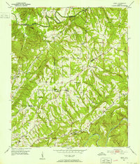
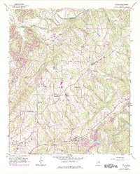
1951 Map of Creel
USGS Topo · Published 1952About this map
Locust Fork and the Mulberry Fork define the riverine borders of this North Alabama landscape, where the edges of Cullman, Blount, Walker, and Jefferson counties converge. Rural life in the early 1950s centered around small crossroads like Creel, Sloan, and Corner, where numerous country churches and local schools served the dispersed farming community. The topography is marked by a dense network of ridges and hollows, including Bannon Mtn and Drummond Hollow, which complicated early road development. While the area remained largely agrarian, a Strip Mine in the northwest corner near Valley Grove Ch signals the encroaching industrial footprint of the regional coal and mineral economy. Genealogists will find a wealth of family-named landmarks and rural institutions, from Partridge Crossroads to the Red Hill Sch, capturing the social geography of the area before modern infrastructure shifts occurred.
Find a feature on this map
44 named features on this map. Tap any name to fly to it.
Don’t see what you’re looking for? This feature index may not catch every label — zoom into the map to look around manually.
Map Details
Editions of this 1951 Creel Map
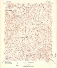
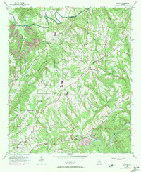
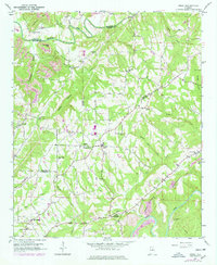
5 editions found
Other maps of this area

1889 · Birmingham
USGS Topo · 1:125,000

1892 · Birmingham
USGS Topo · 1:125,000

1893 · Jasper
USGS Topo · 1:125,000

1895 · Birmingham
USGS Topo · 1:125,000

1904 · Birmingham Coal District
USGS Topo · 1:62,500

1906 · Birmingham Special
USGS Topo · 1:62,500

1907 · Birmingham
USGS Topo · 1:125,000

1935 · Port Birmingham
USGS Topo · 1:48,000

1938 · Port Birmingham
USGS Topo · 1:62,500

1949 · Sipsey
USGS Topo · 1:24,000