
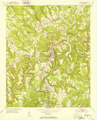
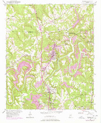
1951 Map of Warrior
USGS Topo · Published 1952About this map
The Locust Fork of the Black Warrior River carves a winding path through this northern Jefferson County landscape, dictating the development of mining and rail infrastructure. Central to the map, the industrial hub of Warrior is connected to satellite settlements like Kimberly and Morris via the Louisville and Nashville railroad. The presence of a Coal Chute near Cane Creek and the proximity of Coaldale and Beltona point to the area's history as a coal-producing region during the mid-twentieth century. Local education and religious life are well-documented through landmarks such as the Mortimer Jordan Sch, Mt High Sch, and Watts Union Ch. Along the meandering riverbanks, a Gaging Sta monitors the flow, while numerous creeks like Merrill Creek and Self Creek drain the surrounding hills of Thomas Mtn.
Find a feature on this map
36 named features on this map. Tap any name to fly to it.
Don’t see what you’re looking for? This feature index may not catch every label — zoom into the map to look around manually.
Map Details
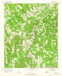
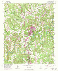
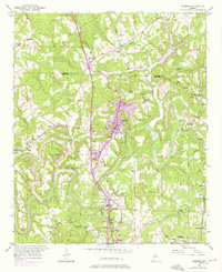
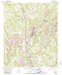
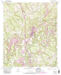
Editions of this 1951 Warrior Map
8 editions found
Other maps of this area

1889 · Birmingham
USGS Topo · 1:125,000

1892 · Birmingham
USGS Topo · 1:125,000

1895 · Birmingham
USGS Topo · 1:125,000

1904 · Birmingham Coal District
USGS Topo · 1:62,500

1905 · Leeds
USGS Topo · 1:62,500

1906 · Birmingham Special
USGS Topo · 1:62,500

1907 · Birmingham
USGS Topo · 1:125,000

1907 · Leeds
USGS Topo · 1:62,500

1951 · Arkadelphia
USGS Topo · 1:24,000
1951 · Creel
USGS Topo · 1:24,000