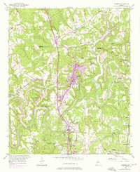
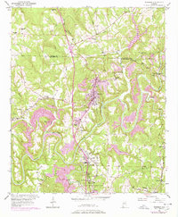
1951 Map of Warrior
USGS Topo · Published 1976About this map
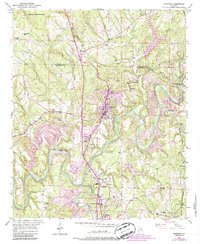
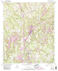
Warrior and the industrial corridors of the Blount and Jefferson County line are documented in this mid-century survey, with revisions from the early 1970s. The landscape is defined by the winding course of the Locust Fork, where features like Sharit Shoals and the McAnally Ford State Bridge mark historic crossing points. The regional economy of the era is evident in the presence of the Coal Chute near Cane Creek and the Louisville and Nashville railroad tracks that connect the mining and residential settlements of Beltona, Seloca, and Kimberly. Local heritage is anchored by numerous rural institutions, including the Mortimer Jordan Sch, Watts Union Ch, and the intriguing Chimneys Ruins located near Hogeland. This map provides a detailed look at the transition from traditional river-and-rail infrastructure to modern highway development.
Find a feature on this map
42 named features on this map. Tap any name to fly to it.
Don’t see what you’re looking for? This feature index may not catch every label — zoom into the map to look around manually.
Map Details
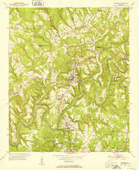
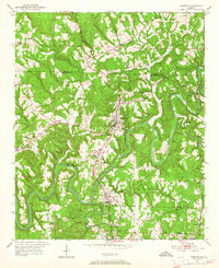
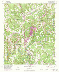
Editions of this 1951 Warrior Map
8 editions found
Other maps of this area

1889 · Birmingham
USGS Topo · 1:125,000

1892 · Birmingham
USGS Topo · 1:125,000

1895 · Birmingham
USGS Topo · 1:125,000

1904 · Birmingham Coal District
USGS Topo · 1:62,500

1905 · Leeds
USGS Topo · 1:62,500

1906 · Birmingham Special
USGS Topo · 1:62,500

1907 · Birmingham
USGS Topo · 1:125,000

1907 · Leeds
USGS Topo · 1:62,500

1951 · Arkadelphia
USGS Topo · 1:24,000

1951 · Warrior
USGS Topo · 1:24,000