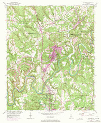
1951 Map of Warrior
USGS Topo · Published 1971About this map
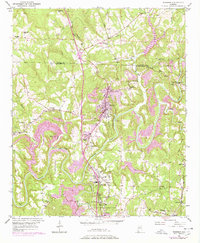
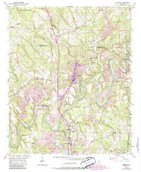
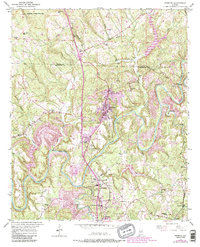
Warrior serves as the focal point of this northern Jefferson County landscape, situated along the Louisville and Nashville railroad corridor. The area's mid-century industrial and social character is evident in the cluster of mining and rail-oriented settlements including Kimberly, Beltona, and Coaldale. Waterways like the winding Locust Fork and Lick Creek define the topography, creating natural barriers and landmarks such as Sharit Shoals. Local genealogy is well-represented through numerous community institutions, including New Bethel Ch, Azbeth Ch, and the Mortimer Jordan Sch. A notable historical detail is the presence of the Chimneys Ruins near Linton, pointing to earlier structures along the creek. This map captures the transition of these rural communities as they expanded outward from their original railroad and river foundations.
Find a feature on this map
40 named features on this map. Tap any name to fly to it.
Don’t see what you’re looking for? This feature index may not catch every label — zoom into the map to look around manually.
Map Details
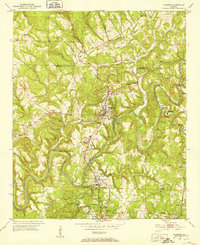
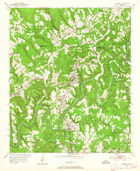
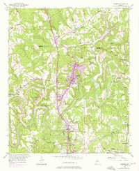
Editions of this 1951 Warrior Map
8 editions found
Other maps of this area

1889 · Birmingham
USGS Topo · 1:125,000

1892 · Birmingham
USGS Topo · 1:125,000

1895 · Birmingham
USGS Topo · 1:125,000

1904 · Birmingham Coal District
USGS Topo · 1:62,500

1905 · Leeds
USGS Topo · 1:62,500

1906 · Birmingham Special
USGS Topo · 1:62,500

1907 · Birmingham
USGS Topo · 1:125,000

1907 · Leeds
USGS Topo · 1:62,500

1951 · Arkadelphia
USGS Topo · 1:24,000

1951 · Warrior
USGS Topo · 1:24,000