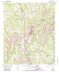
1951 Map of Warrior
USGS Topo · Published 1986About this map
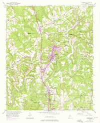
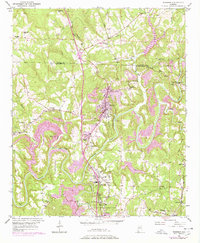
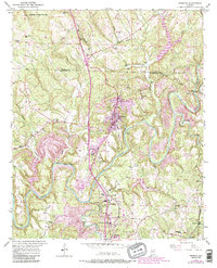
Warrior and Kimberly anchor this mid-century look at the industrial and agricultural interface of the northern Blount and Jefferson County line. The Louisville and Nashville railroad serves as the primary spine of the region, facilitating the movement of coal from the numerous Strip Mines and local infrastructure like the Coal Chute. The Locust Fork of the Black Warrior River carves a deep path through the terrain, featuring landmarks such as Sharit Shoals and the McNally Ford Bridge.
Find a feature on this map
48 named features on this map. Tap any name to fly to it.
Don’t see what you’re looking for? This feature index may not catch every label — zoom into the map to look around manually.
Map Details
Editions of this 1951 Warrior Map
8 editions found
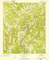
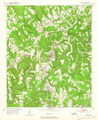
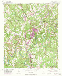
Other maps of this area

1889 · Birmingham
USGS Topo · 1:125,000

1892 · Birmingham
USGS Topo · 1:125,000

1895 · Birmingham
USGS Topo · 1:125,000

1904 · Birmingham Coal District
USGS Topo · 1:62,500

1905 · Leeds
USGS Topo · 1:62,500

1906 · Birmingham Special
USGS Topo · 1:62,500

1907 · Birmingham
USGS Topo · 1:125,000

1907 · Leeds
USGS Topo · 1:62,500

1951 · Arkadelphia
USGS Topo · 1:24,000

1951 · Warrior
USGS Topo · 1:24,000