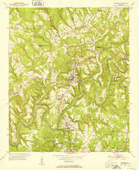
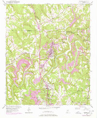
1951 Map of Warrior
USGS Topo · Published 1952About this map
Industrial and coal-mining heritage anchor this survey of the Blount Co Jefferson Co border. The Louisville and Nashville railroad serves as the primary spine for development, connecting the residential and commercial centers of Warrior and Kimberly. Evidence of the region's extractive economy is visible in specialized landmarks like the Coal Chute near Linton, while the Chimneys Ruins suggest an earlier chapter of settlement.
Find a feature on this map
40 named features on this map. Tap any name to fly to it.
Don’t see what you’re looking for? This feature index may not catch every label — zoom into the map to look around manually.
Map Details
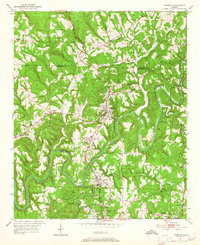
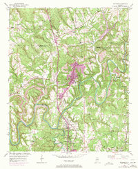
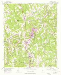
Editions of this 1951 Warrior Map
8 editions found
Other maps of this area

1889 · Birmingham
USGS Topo · 1:125,000

1892 · Birmingham
USGS Topo · 1:125,000

1895 · Birmingham
USGS Topo · 1:125,000

1904 · Birmingham Coal District
USGS Topo · 1:62,500

1905 · Leeds
USGS Topo · 1:62,500

1906 · Birmingham Special
USGS Topo · 1:62,500

1907 · Birmingham
USGS Topo · 1:125,000

1907 · Leeds
USGS Topo · 1:62,500

1951 · Arkadelphia
USGS Topo · 1:24,000

1951 · Warrior
USGS Topo · 1:24,000