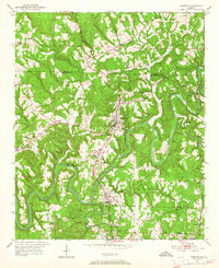
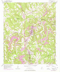
1951 Map of Warrior
USGS Topo · Published 1965About this map
The Locust Fork of the Black Warrior River winds through this 1951 landscape, defining the industrial and agricultural character of northern Jefferson County. The town of Warrior serves as a central hub, supported by the Louisville and Nashville railroad which parallels the main road corridor through Kimberly and Morris. This survey captures the region during a period of active resource extraction, evidenced by the Coal Chute near Beltona and several small mining-related settlements like Coaldale and Seloca.
Find a feature on this map
40 named features on this map. Tap any name to fly to it.
Don’t see what you’re looking for? This feature index may not catch every label — zoom into the map to look around manually.
Map Details
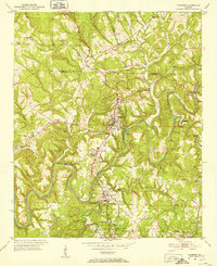
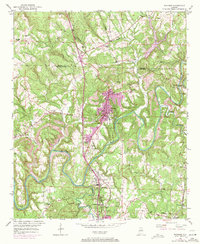
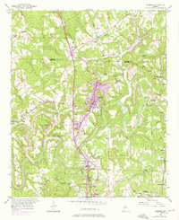
Editions of this 1951 Warrior Map
8 editions found
Other maps of this area

1889 · Birmingham
USGS Topo · 1:125,000

1892 · Birmingham
USGS Topo · 1:125,000

1895 · Birmingham
USGS Topo · 1:125,000

1904 · Birmingham Coal District
USGS Topo · 1:62,500

1905 · Leeds
USGS Topo · 1:62,500

1906 · Birmingham Special
USGS Topo · 1:62,500

1907 · Birmingham
USGS Topo · 1:125,000

1907 · Leeds
USGS Topo · 1:62,500

1951 · Arkadelphia
USGS Topo · 1:24,000

1951 · Warrior
USGS Topo · 1:24,000