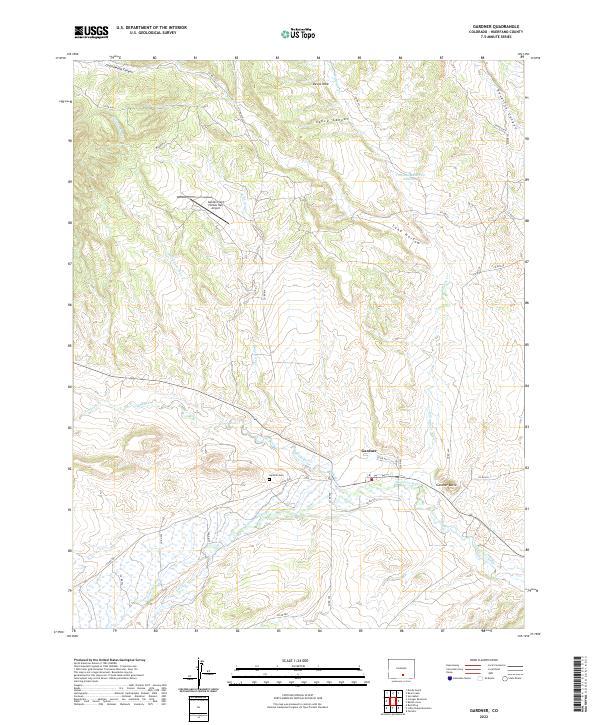
2022 Map of Gardner
USGS Topo · Published 2022About this map
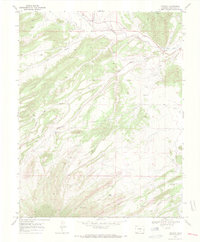
Gardner sits at the confluence of several vital watercourses, where Muddy Creek and Pass Cr join the Huerfano River to create a focal point for settlement in this part of Huerfano County. The landscape is defined by its drainage patterns, with Vance Canyon and Cottonwood Canyon cutting through the high ground to the north. Local history is anchored by the Gardner Cem and the prominent Gardner Butte, while the inclusion of the Golden Field (Yellow Hat) Airport marks the modern aviation infrastructure serving the valley. The map reveals how local transit follows the natural contours of the land, with numerous county roads such as Co RD 550 and Co RD 633 spidering out from the central community to remote ranching and agricultural sites like Devils Hole and Sand Hollow.
Find a feature on this map
40 named features on this map. Tap any name to fly to it.
Don’t see what you’re looking for? This feature index may not catch every label — zoom into the map to look around manually.
Map Details
Editions of this 2022 Gardner Map
This is the sole edition of this map. No revisions or reprints were ever made.
Other maps of this area

1889 · Huerfano Park
USGS Topo · 1:125,000

1892 · Huerfano Park
USGS Topo · 1:125,000

1954 · Trinidad
USGS Topo · 1:250,000

1955 · Trinidad
USGS Topo · 1:250,000

1958 · Trinidad
USGS Topo · 1:250,000

1959 · Trinidad
USGS Topo · 1:250,000
1960 · Devils Gulch
USGS Topo · 1:24,000
1967 · Creager Reservoir
USGS Topo · 1:24,000
1967 · Red Wing
USGS Topo · 1:24,000
1969 · Farisita
USGS Topo · 1:24,000