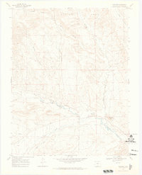
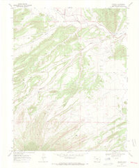
1969 Map of Gardner
USGS Topo · Published 1973About this map
Gardner sits at the confluence of several vital waterways in Huerfano County, serving as a focal point where Muddy Creek and Williams Creek meet the Huerfano River. This late-1960s landscape is defined by the sharp transition from the river valley to the complex high-elevation terrain of Devils Hole and the prominent volcanic landmark of Gardner Butte.
Find a feature on this map
16 named features on this map. Tap any name to fly to it.
Don’t see what you’re looking for? This feature index may not catch every label — zoom into the map to look around manually.
Map Details
Editions of this 1969 Gardner Map
This is the sole edition of this map. No revisions or reprints were ever made.
Other maps of this area

1889 · Huerfano Park
USGS Topo · 1:125,000

1892 · Huerfano Park
USGS Topo · 1:125,000

1954 · Trinidad
USGS Topo · 1:250,000

1955 · Trinidad
USGS Topo · 1:250,000

1958 · Trinidad
USGS Topo · 1:250,000

1959 · Trinidad
USGS Topo · 1:250,000
1960 · Devils Gulch
USGS Topo · 1:24,000
1967 · Creager Reservoir
USGS Topo · 1:24,000
1967 · Red Wing
USGS Topo · 1:24,000
1969 · Farisita
USGS Topo · 1:24,000