
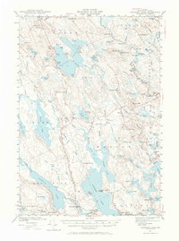
1941 Map of Gardner Lake
USGS Topo · Published 1958About this map
Cathance Lake and the surrounding timberlands of Washington County define this 1941 landscape, a region where life followed the flow of water and the reach of the Maine Central railroad. The map depicts a network of small, rural outposts like Marion, Jacksonville, and Halls Mills that served as hubs for local agriculture and logging. The presence of numerous schools, including East Ridge Sch and West Ridge Sch, indicates a dispersed but established community structure at the onset of the 1940s.
Find a feature on this map
116 named features on this map. Tap any name to fly to it.
Don’t see what you’re looking for? This feature index may not catch every label — zoom into the map to look around manually.
Map Details
Editions of this 1941 Gardner Lake Map
3 editions found
Other maps of this area

1907 · Eastport
USGS Topo · 1:48,000

1908 · Eastport
USGS Topo · 1:62,500

1917 · Cutler
USGS Topo · 1:62,500

1918 · Machias
USGS Topo · 1:62,500

1918 · Cutler
USGS Topo · 1:62,500

1921 · Columbia Falls
USGS Topo · 1:62,500

1929 · Calais
USGS Topo · 1:48,000

1929 · Robbinston
USGS Topo · 1:48,000

1931 · Robbinston
USGS Topo · 1:62,500

1932 · Calais
USGS Topo · 1:62,500