Loading...
Loading map...2021 Map of Gardnerville
USGS Topo · Published 2021About this map
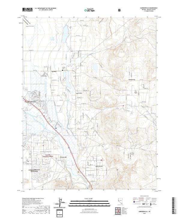
Gardnerville and its surrounding ranch lands are defined by a complex network of water management features essential for agriculture in the Carson Valley. This modern survey documents the intricate system of irrigation ditches and sloughs, including the Edna-Wilslef Ditch, Cottonwood Slough, and the Upper New Virginia Canal, which redirect water from the East Fork Carson River. These waterways sustain the residential growth seen in Gardnerville Ranchos and Ruhenstroth.
Find a feature on this map
122 named features on this map. Tap any name to fly to it.
Don’t see what you’re looking for? This feature index may not catch every label — zoom into the map to look around manually.
Map Details
Date Portrayed2021
Date Published2021
PublisherU.S. Geological Survey
Map TypeTopographic
Scale1:24000
Physical Dimensions24 x 29 inches
Editions of this 2021 Gardnerville Map
This is the sole edition of this map. No revisions or reprints were ever made.
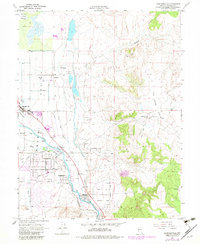
Historical Maps of Dresslerville Through Time
3 maps found
Featured Locations
Source Details
SourceU.S. Geological Survey
CopyrightPublic Domain