
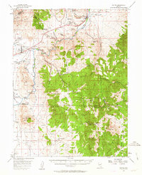
1956 Map of Dayton
USGS Topo · Published 1958About this map
The Carson River carves a vital corridor through this landscape, fueling the industrial and agricultural needs of the mid-1950s. Along its banks, the infrastructure of the silver era remains visible in the Old RR Grade and irrigation works like the Mexican Ditch and Randall Ditch. The settlement of Dayton sits at the mouth of Gold Canyon, a historic entry point to the Comstock Lode, while further west, the Mound House (Site) and Brunswick mark once-bustling transit points. This area reflects a transition from intensive mining to institutional and agricultural use, evidenced by the Nevada State Prison and the nearby Nevada State Prison Farm. High desert peaks like Bismark Peak and McTarnahan Hill overlook numerous mining operations, including the Daney Mine and Utopian Mine, scattered through the surrounding canyons.
Find a feature on this map
63 named features on this map. Tap any name to fly to it.
Don’t see what you’re looking for? This feature index may not catch every label — zoom into the map to look around manually.
Map Details
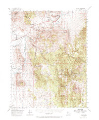
Editions of this 1956 Dayton Map
3 editions found
Other maps of this area

1889 · Markleeville
USGS Topo · 1:125,000

1891 · Carson
USGS Topo · 1:125,000

1891 · Markleeville
USGS Topo · 1:125,000

1891 · Wabuska
USGS Topo · 1:125,000

1891 · Wellington
USGS Topo · 1:125,000

1893 · Carson
USGS Topo · 1:125,000

1893 · Markleeville
USGS Topo · 1:125,000

1893 · Wellington
USGS Topo · 1:125,000

1894 · Wabuska
USGS Topo · 1:125,000

1948 · Walker Lake
USGS Topo · 1:250,000