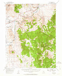
1956 Map of Dayton
USGS Topo · Published 1963About this map
Dayton and the surrounding mining district of the Virginia Range define this mid-century landscape along the Carson River. The map illustrates the region's industrial evolution, featuring the Dredge Tailings in Gold Canyon and several historic sites such as the Empire Mill Site and the Mound House (Site). The transportation network is a mix of old and new, showing the Old RR Grade alongside the Mexican Road and early Jeep Trails carving through the high desert.
Find a feature on this map
61 named features on this map. Tap any name to fly to it.
Don’t see what you’re looking for? This feature index may not catch every label — zoom into the map to look around manually.
Map Details
Editions of this 1956 Dayton Map
3 editions found

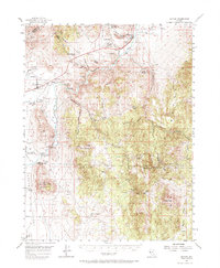
Other maps of this area

1889 · Markleeville
USGS Topo · 1:125,000

1891 · Carson
USGS Topo · 1:125,000

1891 · Markleeville
USGS Topo · 1:125,000

1891 · Wabuska
USGS Topo · 1:125,000

1891 · Wellington
USGS Topo · 1:125,000

1893 · Carson
USGS Topo · 1:125,000

1893 · Markleeville
USGS Topo · 1:125,000

1893 · Wellington
USGS Topo · 1:125,000

1894 · Wabuska
USGS Topo · 1:125,000

1948 · Walker Lake
USGS Topo · 1:250,000