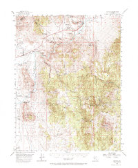
1956 Map of Dayton
USGS Topo · Published 1971About this map
Carson River flows through a landscape defined by Nevada's mining and correctional history in the mid-1950s. The town of Dayton sits near extensive Dredge Tailings along Gold Canyon, reflecting decades of extraction that shaped the terrain. Industrial footprints are visible at the Mound House (Site) and the riverside settlements of Empire and Brunswick. The western portion of the sheet is dominated by the Nevada State Prison complex, including the Nevada State Prison Cem and the Nevada State Prison Farm.
Find a feature on this map
51 named features on this map. Tap any name to fly to it.
Don’t see what you’re looking for? This feature index may not catch every label — zoom into the map to look around manually.
Map Details
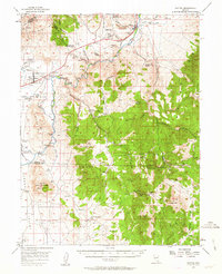
Editions of this 1956 Dayton Map
3 editions found

Other maps of this area

1889 · Markleeville
USGS Topo · 1:125,000

1891 · Carson
USGS Topo · 1:125,000

1891 · Markleeville
USGS Topo · 1:125,000

1891 · Wabuska
USGS Topo · 1:125,000

1891 · Wellington
USGS Topo · 1:125,000

1893 · Carson
USGS Topo · 1:125,000

1893 · Markleeville
USGS Topo · 1:125,000

1893 · Wellington
USGS Topo · 1:125,000

1894 · Wabuska
USGS Topo · 1:125,000

1948 · Walker Lake
USGS Topo · 1:250,000