
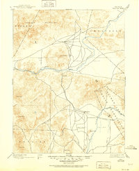
1894 Map of Wabuska
USGS Topo · Published 1894About this map
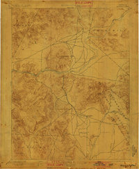
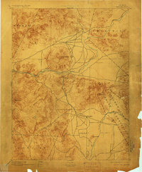
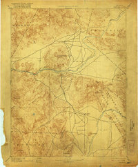
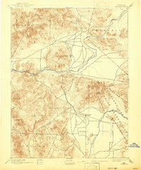
The Carson River and Walker River systems anchor this late nineteenth-century survey of the high desert, where water and rails defined the survival of small settlements. Near the junction of several valley systems, Wabuska sits at a critical intersection for the Colorado River Railroad, serving as a hub for the surrounding ranching and transport activities in Mason Valley. The landscape is dominated by stark topographical features such as Churchill Butte and Como Peak, which provided essential landmarks for travelers navigating between the small outposts of Harriman, Clifton, and Burnett. This era captures the region shortly after the establishment of the Walker Lake Indian Reservation, showing the early footprint of development before more modern irrigation and infrastructure projects reshaped the Western Nevada basin.
Find a feature on this map
28 named features on this map. Tap any name to fly to it.
Don’t see what you’re looking for? This feature index may not catch every label — zoom into the map to look around manually.
Map Details
Editions of this 1894 Wabuska Map
6 editions found
Other maps of this area

1889 · Markleeville
USGS Topo · 1:125,000

1890 · Wadsworth
USGS Topo · 1:125,000

1891 · Carson
USGS Topo · 1:125,000

1891 · Markleeville
USGS Topo · 1:125,000

1891 · Wabuska
USGS Topo · 1:125,000

1891 · Reno
USGS Topo · 1:125,000

1891 · Wellington
USGS Topo · 1:125,000

1892 · Wadsworth
USGS Topo · 1:125,000

1893 · Carson
USGS Topo · 1:125,000

1893 · Markleeville
USGS Topo · 1:125,000