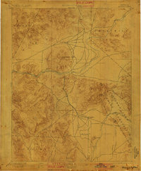
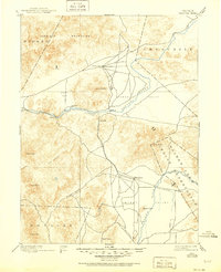
1894 Map of Wabuska
USGS Topo · Published 1901About this map
Mason Valley and the surrounding high desert basins appear here as they were surveyed in the late 19th century, dominated by the vital corridors of the Carson River and Walker River. This era of Nevada history is defined by the development of remote water sources and rail connections, exemplified by Stockton Well and the route of the Colorado River Railroad. Small settlements and stations like Wabuska, Churchill, and Haufman provide fixed points in a landscape characterized by dramatic elevation changes, from the depths of Mill Canyon to the heights of Rawe Peak and Como Peak. The eastern portion of the sheet is marked by the Walker Lake Indian Reservation, illustrating the intersection of established indigenous lands with the expanding infrastructure of the American West.
Find a feature on this map
29 named features on this map. Tap any name to fly to it.
Don’t see what you’re looking for? This feature index may not catch every label — zoom into the map to look around manually.
Map Details
Editions of this 1894 Wabuska Map
6 editions found

Other maps of this area

1889 · Markleeville
USGS Topo · 1:125,000

1890 · Wadsworth
USGS Topo · 1:125,000

1891 · Carson
USGS Topo · 1:125,000

1891 · Markleeville
USGS Topo · 1:125,000

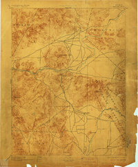
1891 · Wabuska
USGS Topo · 1:125,000

1891 · Reno
USGS Topo · 1:125,000

1891 · Wellington
USGS Topo · 1:125,000

1892 · Wadsworth
USGS Topo · 1:125,000

1893 · Carson
USGS Topo · 1:125,000

1893 · Markleeville
USGS Topo · 1:125,000