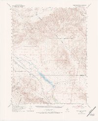
1951 Map of Weber Reservoir
USGS Topo · Published 1984About this map
Weber Reservoir and the Weber Dam serve as the central hydraulic features in this mid-century western landscape, anchoring a complex network of arid valleys and high desert ranges. The Walker River snakes through Campbell Valley and Sunshine Flat, feeding the reservoir before continuing south through the Walker River Indian Reservation. This map captures the intersection of critical transit and water infrastructure, where the Southern Pacific railroad follows the river's path, cutting between the Desert Mountains and the Wassauk Range. Several scattered prospects indicate mineral exploration in the Calico Hills and near Russell Pass, reflecting the era's ongoing search for resources. The presence of Lateral Canal No 2 further illustrates the modification of the high desert for irrigation and settlement.
Find a feature on this map
25 named features on this map. Tap any name to fly to it.
Don’t see what you’re looking for? This feature index may not catch every label — zoom into the map to look around manually.
Map Details
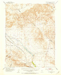
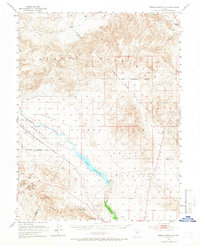
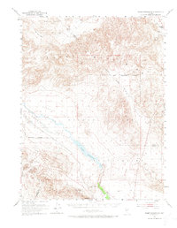
Editions of this 1951 Weber Reservoir Map
5 editions found

Other maps of this area

1891 · Wabuska
USGS Topo · 1:125,000

1891 · Wellington
USGS Topo · 1:125,000

1893 · Wellington
USGS Topo · 1:125,000

1894 · Wabuska
USGS Topo · 1:125,000

1908 · Carson Sink
USGS Topo · 1:250,000

1909 · Hawthorne
USGS Topo · 1:250,000

1910 · Carson Sink
USGS Topo · 1:250,000

1911 · Hawthorne
USGS Topo · 1:250,000

1915 · Hawthorne
USGS Topo · 1:250,000

1948 · Walker Lake
USGS Topo · 1:250,000