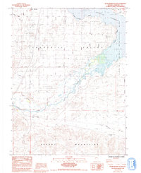
1985 Map of Silver Springs South
USGS Topo · Published 1993About this map
Churchill Valley and the western reaches of the La Hontan Reservoir dominate this mid-1980s landscape at the boundary of Lyon and Churchill counties. The settlement of Silver Springs is depicted in a moment of grid-patterned growth, with residential streets like Tamarack Ave and Antelope St extending into the arid basin. Historically significant transit corridors traverse the southern half of the map, most notably the Pony Simpson Express Road Route and the Buckland Road, which trace the path of 19th-century mail and freight travel through the high desert. The Carson River flows toward the reservoir, flanked by infrastructure including the Lahontan Dam and a series of dikes and ditches. To the south, the terrain rises into the Desert Mountains, where scattered prospects and a mine suggest the region's enduring connection to mineral exploration.
Find a feature on this map
66 named features on this map. Tap any name to fly to it.
Don’t see what you’re looking for? This feature index may not catch every label — zoom into the map to look around manually.
Map Details
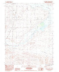
Editions of this 1985 Silver Springs South Map
2 editions found
Other maps of this area

1891 · Wabuska
USGS Topo · 1:125,000

1894 · Wabuska
USGS Topo · 1:125,000

1957 · Como
USGS Topo · 1:62,500

1957 · Wabuska
USGS Topo · 1:62,500

1957 · Churchill Butte
USGS Topo · 1:62,500

1957 · Silver Springs
USGS Topo · 1:62,500

1957 · Reno
USGS Topo · 1:250,000

1959 · Reno
USGS Topo · 1:250,000

1960 · Reno
USGS Topo · 1:250,000

1979 · Carson City
USGS Topo · 1:100,000