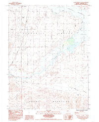
1985 Map of Silver Springs South
USGS Topo · Published 1985About this map
Silver Springs and the surrounding Churchill Valley are the focal points of this mid-1980s landscape, where the high desert meets a vital water network. The Carson River flows toward the extensive Lahontan Reservoir, which is flanked by the Lahontan State Recreation Area. The map reveals a transition from the gridded streets of the settlement to the wilder terrain of the Desert Mountains and Alkali Flat.
Find a feature on this map
22 named features on this map. Tap any name to fly to it.
Don’t see what you’re looking for? This feature index may not catch every label — zoom into the map to look around manually.
Map Details
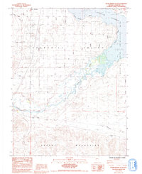
Editions of this 1985 Silver Springs South Map
2 editions found
Other maps of this area

1891 · Wabuska
USGS Topo · 1:125,000

1894 · Wabuska
USGS Topo · 1:125,000

1957 · Como
USGS Topo · 1:62,500

1957 · Wabuska
USGS Topo · 1:62,500

1957 · Churchill Butte
USGS Topo · 1:62,500

1957 · Silver Springs
USGS Topo · 1:62,500

1957 · Reno
USGS Topo · 1:250,000

1959 · Reno
USGS Topo · 1:250,000

1960 · Reno
USGS Topo · 1:250,000

1979 · Carson City
USGS Topo · 1:100,000